Home
Images
Vectors
Videos
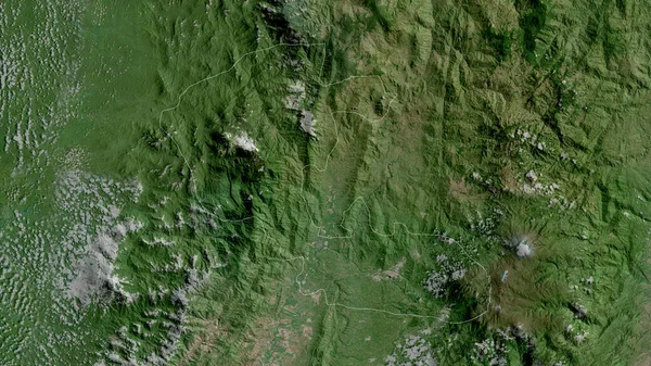
Stock image Copan , department of Honduras. Satellite imagery. Shape outlined against its country area. 3D rendering
Published:
Jul.03, 2020 09:34:03
Author:
Yarr65
Views:
0
Downloads:
0
File type:
image
/
jpg
File size:
7.26 MB
Orginal size:
2880
x
1620
px
Available sizes:
S
(500 x 281)
M
(1000 x 563)
L
(2000 x 1125)
XL
(2880 x 1620)
EL0
(2880 x 1620)
Level:
bronze
Download Image
Image topics:
View
Shape
Travel
Nature
Border
Landscape
Glow
Contour
Scale
Earth
Planet
World
Ocean
Science
Capital
Profile
Outline
Country
Map
Cartography
Geography
Continent
Land
Zoom
Satellite
Department
Region
Territory
Outlined
Atlas
Legend
Overlay
Honduras
Tegucigalpa
Hnd
3d Rendering
North America
Subregion
Administrative Division
Similar stock images
Baja Verapaz, Department Of Guatemala. Satellite Imagery. Shape Outlined Against Its Country Area. 3D Rendering
2880 × 1620
Zlatiborski, District Of Serbia. Satellite Imagery. Shape Outlined Against Its Country Area. 3D Rendering
2880 × 1620
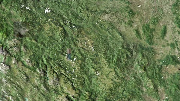
Zacapa, Department Of Guatemala. Satellite Imagery. Shape Outlined Against Its Country Area. 3D Rendering
2880 × 1620
Monsenor Nouel, Province Of Dominican Republic. Satellite Imagery. Shape Outlined Against Its Country Area. 3D Rendering
2880 × 1620
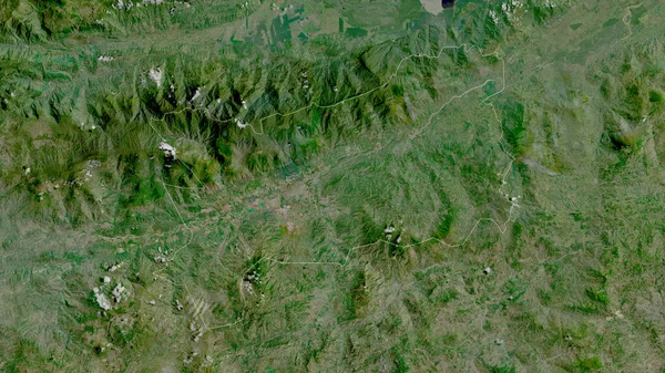
Ocotepeque, Department Of Honduras. Satellite Imagery. Shape Outlined Against Its Country Area. 3D Rendering
2880 × 1620
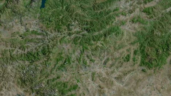
Bulgan, Province Of Mongolia. Satellite Imagery. Shape Outlined Against Its Country Area. 3D Rendering
2880 × 1620
Raski, District Of Serbia. Satellite Imagery. Shape Outlined Against Its Country Area. 3D Rendering.
2880 × 1620
Risaralda, Department Of Colombia. Satellite Imagery. Shape Outlined Against Its Country Area. 3D Rendering
2880 × 1620