photo free
Home Images Vectors Videos

Stock image Cornwall Island in the The Northwestern Passages, belonging to Canada, isolated on a satellite image taken in February 13, 2013, with distance scale

Stock image Cornwall Island in the The Northwestern Passages, belonging to Canada, isolated on a satellite image taken in February 13, 2013, with distance scale
Published: Sep.11, 2024 14:39:10
Author: zelwanka
Views: 0
Downloads: 0
File type: image / jpg
File size: 1.52 MB
Orginal size: 2160 x 2160 px
Available sizes:
S
(500 x 500)
M
(1000 x 1000)
L
(2000 x 2000)
XL
(2160 x 2160)
EL0
(2160 x 2160)
Level: beginner
Download Image
Image topics:

Similar stock images

stock image Shape of a high resolution satellite map of the Cyprus, with distance scale and map border coordinates, isolated on white

Shape Of A High Resolution Satellite Map Of The Cyprus, With Distance Scale And Map Border Coordinates, Isolated On White

2728 × 1649
stock image Area of Shan, state of Myanmar, isolated on a solid background in a georeferenced bounding box. Labels. Topographic relief map. 3D rendering

Area Of Shan, State Of Myanmar, Isolated On A Solid Background In A Georeferenced Bounding Box. Labels. Topographic Relief Map. 3D Rendering

2880 × 1620
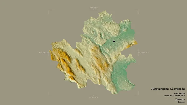
stock image Area of Jugovzhodna Slovenija, statistical region of Slovenia, isolated on a solid background in a georeferenced bounding box. Labels. Topographic relief map. 3D rendering

Area Of Jugovzhodna Slovenija, Statistical Region Of Slovenia, Isolated On A Solid Background In A Georeferenced Bounding Box. Labels. Topographic Relief Map. 3D Rendering

2880 × 1620
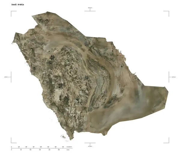
stock image Shape of a high resolution satellite map of the Saudi Arabia, with distance scale and map border coordinates, isolated on white

Shape Of A High Resolution Satellite Map Of The Saudi Arabia, With Distance Scale And Map Border Coordinates, Isolated On White

2289 × 1965
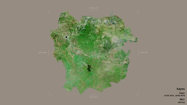
stock image Area of Kayes, region of Mali, isolated on a solid background in a georeferenced bounding box. Labels. Satellite imagery. 3D rendering

Area Of Kayes, Region Of Mali, Isolated On A Solid Background In A Georeferenced Bounding Box. Labels. Satellite Imagery. 3D Rendering

2880 × 1620
stock image Shape of a high resolution satellite map of the Cabo Verde, with distance scale and map border coordinates, isolated on white

Shape Of A High Resolution Satellite Map Of The Cabo Verde, With Distance Scale And Map Border Coordinates, Isolated On White

2193 × 2051
stock image Shape of a high resolution satellite map of the Cabo Verde, with distance scale and map border coordinates, isolated on white

Shape Of A High Resolution Satellite Map Of The Cabo Verde, With Distance Scale And Map Border Coordinates, Isolated On White

2193 × 2051
stock image Shape of a high resolution satellite map of the Cabo Verde, with distance scale and map border coordinates, isolated on white

Shape Of A High Resolution Satellite Map Of The Cabo Verde, With Distance Scale And Map Border Coordinates, Isolated On White

2193 × 2051