Home
Images
Vectors
Videos
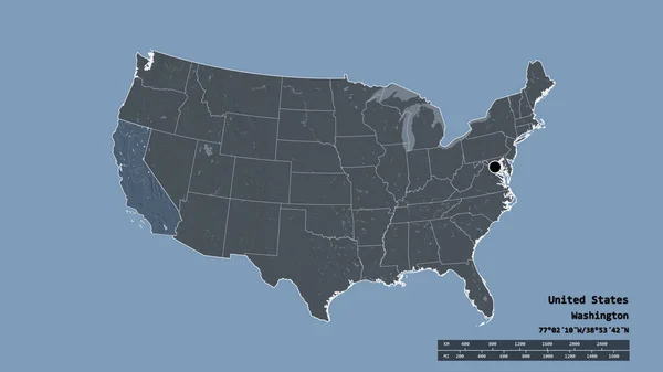
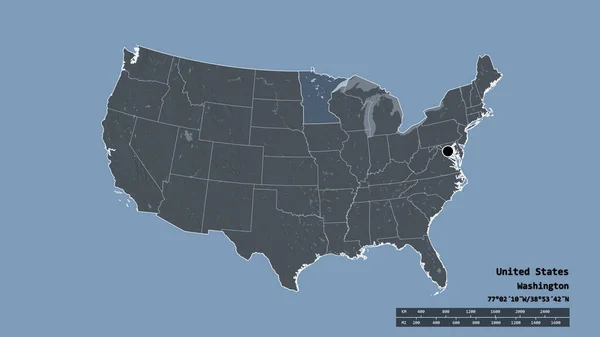
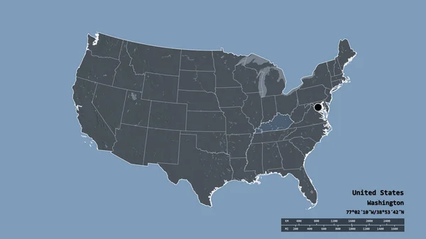
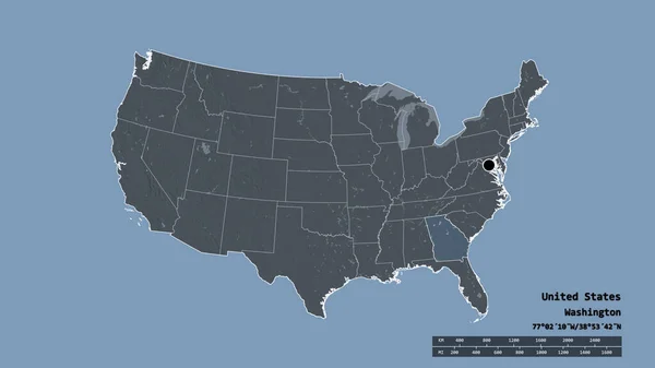
Stock image Desaturated shape of Mainland United States with its capital, main regional division and the separated Ohio area. Labels. Colored elevation map. 3D rendering
Published:
Aug.18, 2020 11:33:19
Author:
Yarr65
Views:
1
Downloads:
1
File type:
image
/
jpg
File size:
1 MB
Orginal size:
2880
x
1620
px
Available sizes:
S
(500 x 281)
M
(1000 x 563)
L
(2000 x 1125)
XL
(2880 x 1620)
EL0
(2880 x 1620)
Level:
bronze
Download Image
Image topics:
View
Travel
Nature
Sea
Landscape
Earth
Planet
World
Usa
Ocean
Science
Capital
Globe
Profile
Country
Map
Cartography
Geography
Continent
Land
Zoom
State
Administrative
Washington
Region
Territory
Atlas
Overlay
Columbus
Oh
Ohio
3d Rendering
North America
Subregion
Administrative Division
Mainland United States
Similar stock images
Desaturated Shape Of Mainland United States With Its Capital, Main Regional Division And The Separated California Area. Labels. Colored Elevation Map. 3D Rendering
2880 × 1620
Desaturated Shape Of Mainland United States With Its Capital, Main Regional Division And The Separated North Carolina Area. Labels. Colored Elevation Map. 3D Rendering
2880 × 1620
Desaturated Shape Of Mainland United States With Its Capital, Main Regional Division And The Separated Minnesota Area. Labels. Colored Elevation Map. 3D Rendering
2880 × 1620
Desaturated Shape Of Mainland United States With Its Capital, Main Regional Division And The Separated Washington Area. Labels. Colored Elevation Map. 3D Rendering
2880 × 1620
Desaturated Shape Of Mainland United States With Its Capital, Main Regional Division And The Separated Kentucky Area. Labels. Colored Elevation Map. 3D Rendering
2880 × 1620
Desaturated Shape Of Mainland United States With Its Capital, Main Regional Division And The Separated Pennsylvania Area. Labels. Colored Elevation Map. 3D Rendering
2880 × 1620
Desaturated Shape Of Mainland United States With Its Capital, Main Regional Division And The Separated Georgia Area. Labels. Colored Elevation Map. 3D Rendering
2880 × 1620
Desaturated Shape Of Mainland United States With Its Capital, Main Regional Division And The Separated South Carolina Area. Labels. Colored Elevation Map. 3D Rendering
2880 × 1620