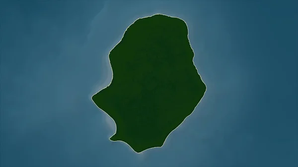
Stock image Diego Garcia Island in the Indian Ocean on a colored elevation map

Published: Sep.11, 2024 14:57:25
Author: zelwanka
Views: 0
Downloads: 0
File type: image / jpg
File size: 0.72 MB
Orginal size: 2880 x 1620 px
Available sizes:
Level: beginner
Similar stock images
Antigua And Barbuda. Close-up Perspective Of The Country - No Outline. Color Physical Map
2880 × 1620