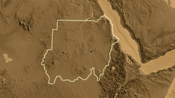
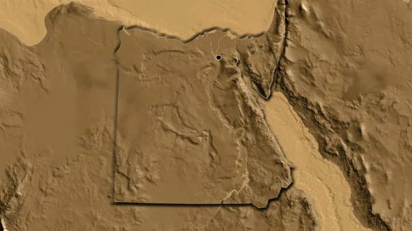
Stock image Distrito Federal - federal district of Brazil zoomed and highlighted. Colored and bumped map of the administrative division. 3D rendering

Published: Aug.06, 2020 14:55:30
Author: Yarr65
Views: 0
Downloads: 0
File type: image / jpg
File size: 2.73 MB
Orginal size: 2880 x 1620 px
Available sizes:
Level: bronze
Similar stock images

Mwanza - District Of Malawi Zoomed And Highlighted. Main Physical Landscape Features. 3D Rendering
2880 × 1620