Home
Images
Vectors
Videos
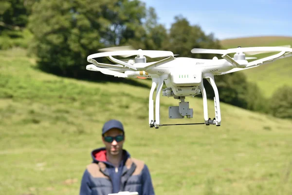
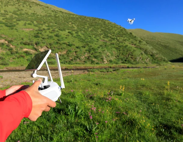
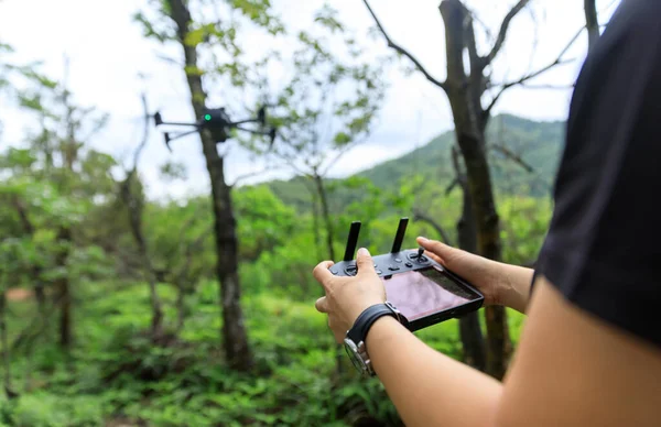
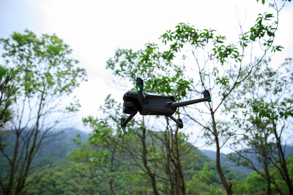
Stock image Drone controller hands lock holding its control. Cartographic engineering.
Published:
May.28, 2024 08:17:50
Author:
ValenPh.
Views:
0
Downloads:
0
File type:
image
/
jpg
File size:
7.25 MB
Orginal size:
3016
x
3770
px
Available sizes:
S
(400 x 500)
M
(800 x 1000)
L
(1600 x 2000)
XL
(3016 x 3770)
EL0
(3016 x 3770)
Level:
bronze
Download Image
Image topics:
Equipment
Outdoors
Environment
Technology
Landscape
Professional
Countryside
Project
Precision
Engineering
Engineer
Research
Exploration
Topography
Highlands
Documentation
Mountainous
Mapping
Fieldwork
Surveying
Remote Control
High Altitude
Rural Area
Aerial Photography
Geospatial
Aerial Survey
Data Collection
Flying Drone
Technical Work
Aerial Videos
Drone Pilot
El Manzano
Photography Session
Cartographic Work
Colombian Coffee Region
Geographical Data
Drone Operation
2000 Meters Altitude
Measuring Land
Pereira Armenia Road
Similar stock images
Man Handling Drone
5520 × 3680
People Remote Control A Flying Drone In Summer Forest
6259 × 3480
Woman Using Remote Control Of Flying Drone In The Sky
5568 × 4320
People Remote Control A Flying Drone In Summer Forest
6720 × 4349
A Drone Pilot Configuring His Drone In The Forest Before Flying
3264 × 2448
Drone Flying In The Mountains
7000 × 4667
Flying Drone In Summer Forest
6156 × 4104
There's The Dji Drone Phantom 4pro On The Photo. The Shooting Has Been Taken Around 110 Km Away From Beijing. The Drone's Pilot Altitude Is Around 600 M.
5184 × 3456