
Stock image Geographical Data

Drone In Full Flight Doing The Cartographic Work And Making The Aerial Photo And Video Shots.
Image, 6.82MB, 3931 × 3145 jpg

Man With Drone Control In Hand Looking Into The Distance In The Middle Of The Mountains Of The Colombian Coffee Region.
Image, 6.2MB, 4202 × 2803 jpg
GIS Two Color Line Icon. Geographic Information System. Remote Sensing. Gps Tracking, Information Technology Bicolor Outline Symbol. Duotone Linear Pictogram. Isolated Illustration. Editable Stroke
Vector, 0.58MB, 5000 × 5000 eps

Drone Controller's Hands Clasp Holding His Control And Dro. Cartographic Engineering.
Image, 10.68MB, 4708 × 3141 jpg
GIS Pixel Perfect White Linear Icon For Dark Theme. Geographic Information System. Remote Sensing. Gps Tracking, Technology. Thin Line Illustration. Isolated Symbol For Night Mode. Editable Stroke
Vector, 0.58MB, 5000 × 5000 eps

Close-up And Side Shot Of A Concentrated Man With The Control Of His Drone In Hand.
Image, 4.34MB, 2473 × 3091 jpg

Man Standing Controlling His Drone, In The Background The Mountains Of The Central Mountain Range Of Colombia, Eje Cafetero.
Image, 7.35MB, 3198 × 4478 jpg

Future Technology, Navigation, Location Concept. Woman Showing Transparent Screen With Gps Navigator Map.
Image, 6.15MB, 5616 × 3744 jpg

GIS Software Concept, Geographic Information System. Vector Illustration.
Vector, 0.64MB, 7576 × 4999 eps


Future Technology, Navigation, Location Concept. Woman Showing Transparent Screen With Gps Navigator Map.
Image, 6.38MB, 5616 × 3744 jpg


Golden Cables Form Map Of North America, Telecommunication Concept. 3d Rendering
Image, 0.85MB, 3840 × 2160 jpg

Future Technology, Navigation, Location Concept. Woman Showing Transparent Screen With Gps Navigator Map.
Image, 3.04MB, 3750 × 2500 jpg


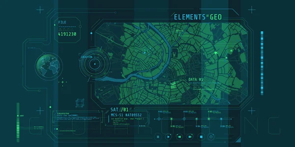
Geoinformatics And Geospatial Analysis - The Use Of Informatics And Science To Study Spatial And Geospatial Information - Conceptual Illustration
Image, 13.51MB, 6500 × 3656 jpg


Set Of 16 Universal Editable Icons. Can Be Used For Web, Mobile And App Design. Includes Icons Such As Money Recycle, Sinus Graph, Bank Card And More.
Vector, 3.18MB, 5000 × 5000 eps


European Geo-blocking Concept Flyer Illustration Header Banner Template - Blue Version
Vector, 1.36MB, 6282 × 2700 eps


Future Technology, Navigation, Location Concept. Woman Showing Transparent Screen With Gps Navigator Map.
Image, 4.3MB, 2500 × 3750 jpg


A Hand Is Drawing The Digital Business World. The World Map Is Drawn Over The Digital Globe. Elements Of This Image Furnished By NASA.
Image, 13.38MB, 5851 × 4884 jpg


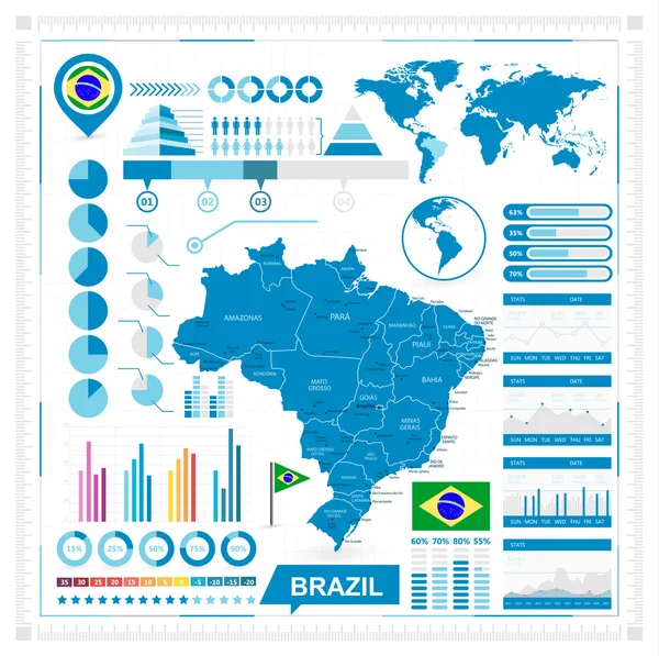
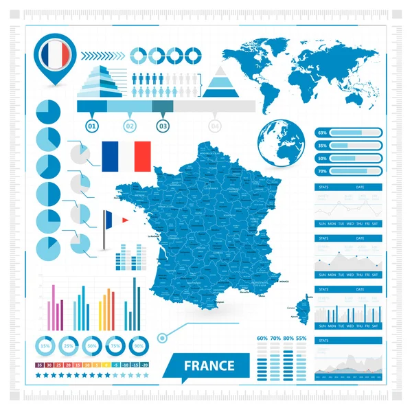
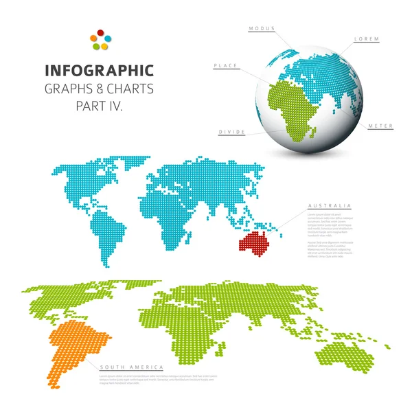
Geographical Infographic Element . Planet Map And Several Information .
Vector, 5.39MB, 6000 × 4000 eps

Social Media And Chat Icons Pack, Every Single Icon Can Easily Modify Or Edit
Vector, 5.55MB, 2500 × 2500 eps


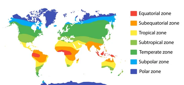
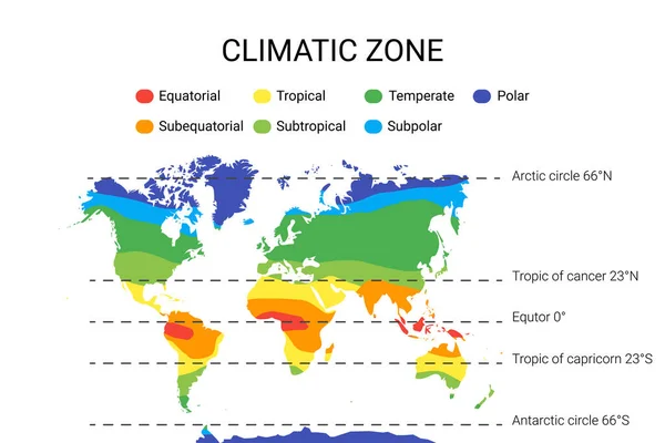
Climate Zones Map Scheme. Vector Illustration With Equatorial, Tropical, Polar, Subtropical, Subequatorial Subpolar Temperate Zones
Vector, 0.66MB, 7501 × 3480 eps

GIS, Geographic Information System. Concept With People, Letters And Icons. Flat Vector Illustration. Isolated On White Background.
Vector, 0.4MB, 9566 × 5000 eps

Climate Zones Map Scheme. Vector Illustration With Equatorial, Tropical, Polar, Subtropical, Subequatorial Subpolar Temperate Zones
Vector, 0.8MB, 7501 × 5001 eps


Page 1 >> Next