Home
Images
Vectors
Videos
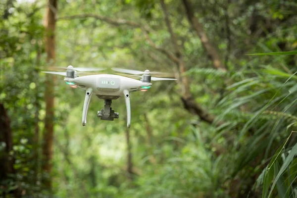
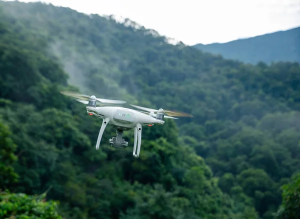
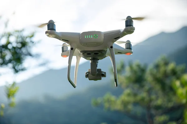
Stock image Drone in full flight doing the cartographic work and making the aerial photo and video shots.
Published:
May.24, 2024 17:47:23
Author:
ValenPh.
Views:
0
Downloads:
0
File type:
image
/
jpg
File size:
6.82 MB
Orginal size:
3931
x
3145
px
Available sizes:
S
(500 x 400)
M
(1000 x 800)
L
(2000 x 1600)
XL
(3931 x 3145)
EL0
(3931 x 3145)
Level:
bronze
Download Image
Image topics:
Equipment
Outdoors
Environment
Technology
Landscape
Professional
Countryside
Project
Precision
Engineering
Engineer
Research
Exploration
Topography
Highlands
Documentation
Mountainous
Mapping
Fieldwork
Surveying
Remote Control
High Altitude
Rural Area
Aerial Photography
Geospatial
Aerial Survey
Data Collection
Flying Drone
Technical Work
Aerial Videos
Drone Pilot
El Manzano
Photography Session
Cartographic Work
Colombian Coffee Region
Geographical Data
Drone Operation
Similar stock images
PHUKET, THAILAND - 8.11.2016: Quadrocopter DJI Phantom 4 Flying In Phuket
5472 × 3648
White Drone With Camera Flying In Summer Mountains
6720 × 4480
White Drone With Camera Flying In Summer Forest
6720 × 4480
Drone Flying In Tropical Forest Taking Photo
6720 × 4480
White Drone With Camera Flying In Summer Forest
6135 × 4480
White Drone With Camera Flying In Summer Mountains
6720 × 4480
Flying Modern Drone, Technology And Helicopter Concepts
4500 × 2531
White Drone With Camera Flying In Summer Mountains
6720 × 4480