photo free
Home Images Vectors Videos

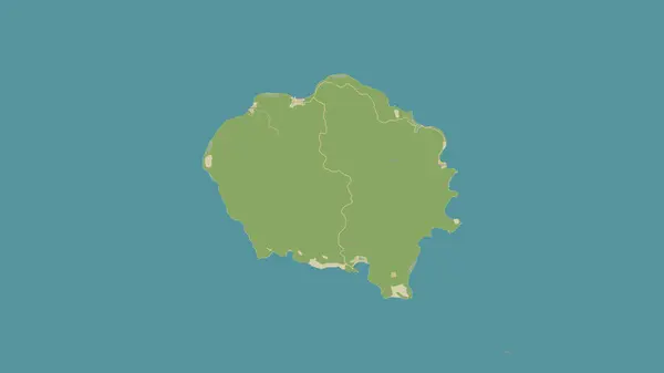
Stock image East Island in the Indian Ocean on a topographic, OSM Humanitarian style map

Stock image East Island in the Indian Ocean on a topographic, OSM Humanitarian style map
Published: Sep.12, 2024 07:31:38
Author: zelwanka
Views: 0
Downloads: 0
File type: image / jpg
File size: 0.24 MB
Orginal size: 2880 x 1620 px
Available sizes:
S
(500 x 281)
M
(1000 x 563)
L
(2000 x 1125)
XL
(2880 x 1620)
EL0
(2880 x 1620)
Level: beginner
Download Image
Image topics:

Similar stock images

stock image Pulau Ambelau in the Banda Sea on a topographic, OSM Humanitarian style map

Pulau Ambelau In The Banda Sea On A Topographic, OSM Humanitarian Style Map

2880 × 1620
stock image Banie Island in the Coral Sea on a topographic, OSM Humanitarian style map

Banie Island In The Coral Sea On A Topographic, OSM Humanitarian Style Map

2880 × 1620
stock image Agattu Island in the Bering Sea on a topographic, OSM Humanitarian style map

Agattu Island In The Bering Sea On A Topographic, OSM Humanitarian Style Map

2880 × 1620
stock image Pulau Bawean in the Java Sea on a topographic, OSM Humanitarian style map

Pulau Bawean In The Java Sea On A Topographic, OSM Humanitarian Style Map

2880 × 1620
stock image Blanquilla Island in the Caribbean Sea on a topographic, OSM Humanitarian style map

Blanquilla Island In The Caribbean Sea On A Topographic, OSM Humanitarian Style Map

2880 × 1620
stock image Amatignak Island in the North Pacific Ocean on a topographic, OSM Humanitarian style map

Amatignak Island In The North Pacific Ocean On A Topographic, OSM Humanitarian Style Map

2880 × 1620
stock image Three-dimensional map of Czech Republic.

Three-dimensional Map Of Czech Republic.

5400 × 3600
stock image Area of Tomsk, region of Russia, isolated on a solid background in a georeferenced bounding box. Labels. Colored elevation map. 3D rendering

Area Of Tomsk, Region Of Russia, Isolated On A Solid Background In A Georeferenced Bounding Box. Labels. Colored Elevation Map. 3D Rendering

2880 × 1620