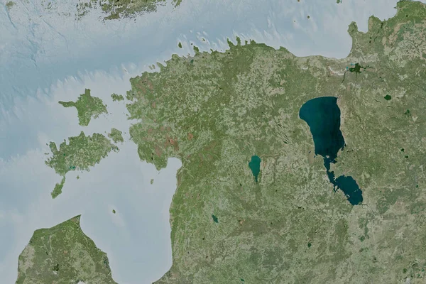
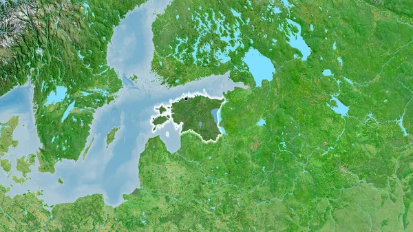
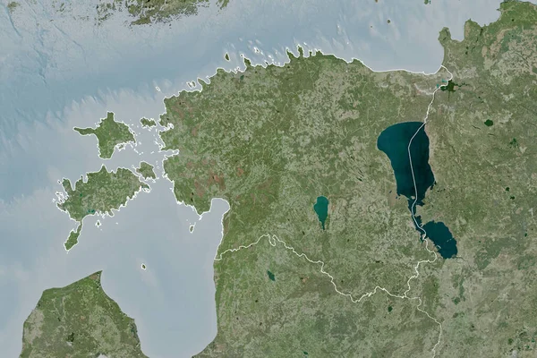
Stock image Extended area of Estonia with country outline, international and regional borders. Satellite imagery. 3D rendering
Published: Sep.16, 2020 07:52:16
Author: Yarr65
Views: 0
Downloads: 0
File type: image / jpg
File size: 7.05 MB
Orginal size: 3000 x 2000 px
Available sizes:
Level: bronze