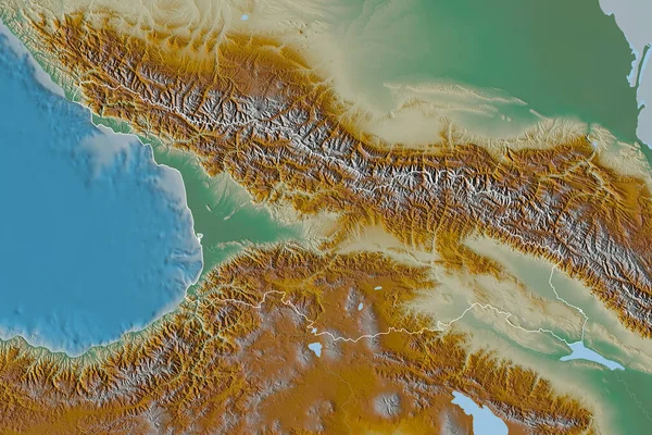
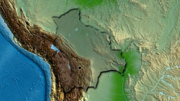
Stock image Extended area of Georgia. Topographic relief map. 3D rendering

Published: Aug.26, 2020 14:13:37
Author: Yarr65
Views: 5
Downloads: 0
File type: image / jpg
File size: 8.4 MB
Orginal size: 3000 x 2000 px
Available sizes:
Level: bronze