Home
Images
Vectors
Videos
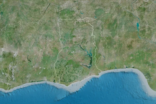
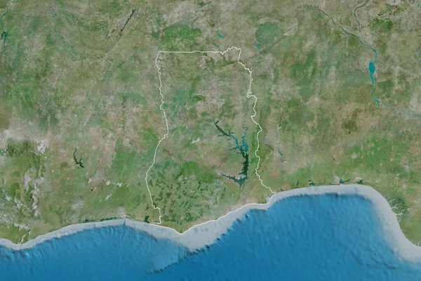
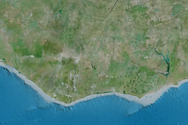
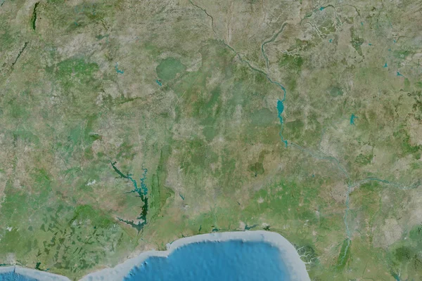
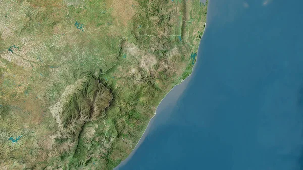
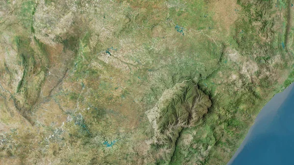
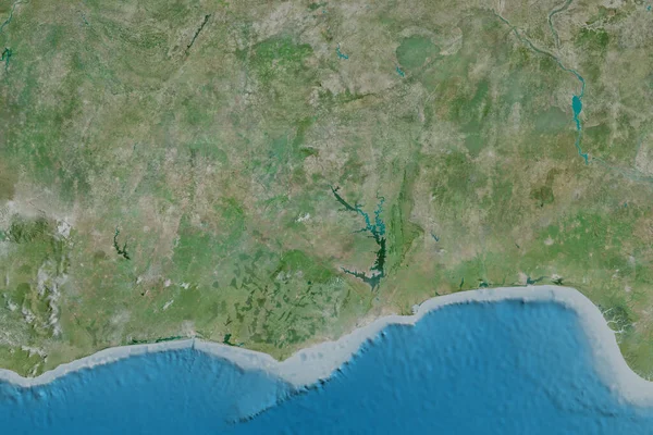
Stock image Extended area of Ghana. Satellite imagery. 3D rendering
Published:
Aug.18, 2020 12:02:08
Author:
Yarr65
Views:
4
Downloads:
0
File type:
image
/
jpg
File size:
7.78 MB
Orginal size:
3000
x
2000
px
Available sizes:
S
(500 x 333)
M
(1000 x 667)
L
(2000 x 1333)
XL
(3000 x 2000)
EL0
(3000 x 2000)
Level:
bronze
Download Image
Image topics:
View
Travel
Nature
Sea
Landscape
Earth
Planet
World
Ocean
Science
Capital
Globe
Profile
Country
Map
Cartography
Geography
Africa
Continent
Land
Zoom
Satellite
Region
Territory
Atlas
Ghana
Accra
Overlay
3d Rendering
Gha
Subregion
Administrative Division
Similar stock images
Extended Area Of Ghana With Country Outline, International And Regional Borders. Satellite Imagery. 3D Rendering
3000 × 2000
Extended Area Of Outlined Ghana. Satellite Imagery. 3D Rendering
3000 × 2000
Bas-Sassandra, District Of Cote D'Ivoire. Satellite Imagery. Shape Outlined Against Its Country Area. 3D Rendering
2880 × 1620
Extended Area Of Cote D'Ivoire. Satellite Imagery. 3D Rendering
3000 × 2000
Odisha, State Of India. Satellite Imagery. Shape Outlined Against Its Country Area. 3D Rendering
2880 × 1620
Extended Area Of Benin. Satellite Imagery. 3D Rendering
3000 × 2000
KwaZulu-Natal, Province Of South Africa. Satellite Imagery. Shape Outlined Against Its Country Area. 3D Rendering
2880 × 1620
Free State, Province Of South Africa. Satellite Imagery. Shape Outlined Against Its Country Area. 3D Rendering
2880 × 1620