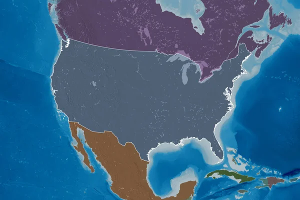
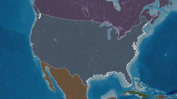
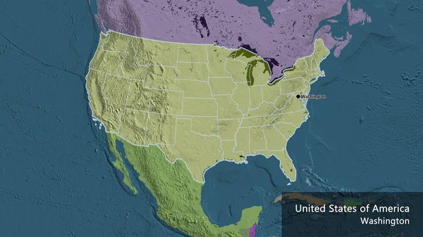
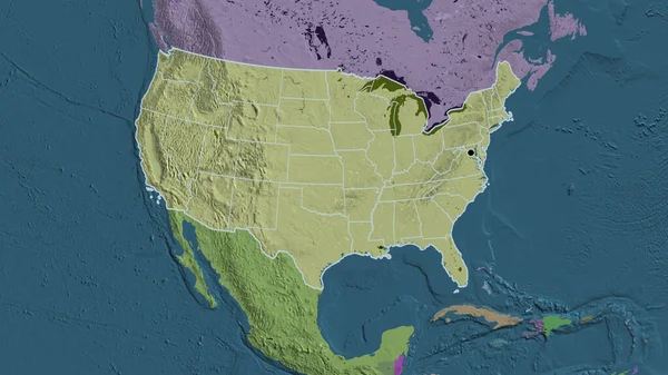
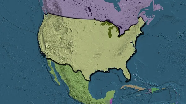
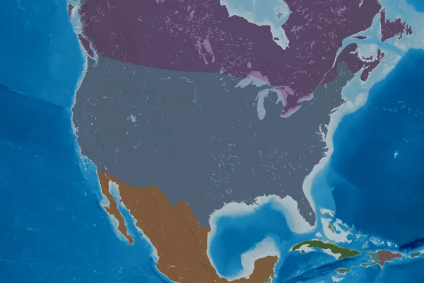
Stock image Extended area of Mainland United States. Colored elevation map. 3D rendering
Published: Aug.21, 2020 09:35:37
Author: Yarr65
Views: 0
Downloads: 0
File type: image / jpg
File size: 4.36 MB
Orginal size: 3000 x 2000 px
Available sizes:
Level: bronze