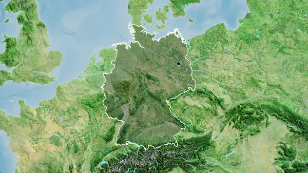
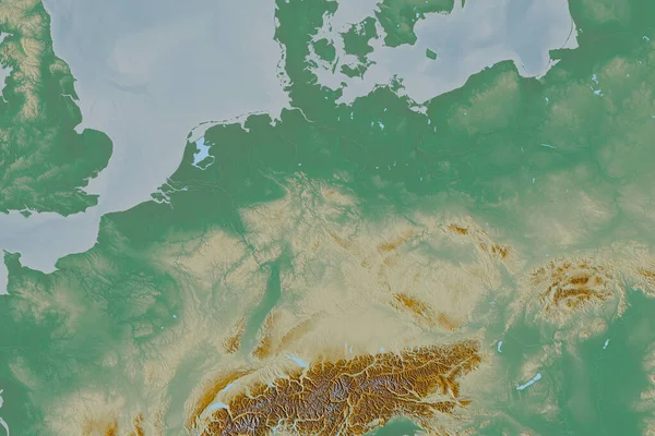
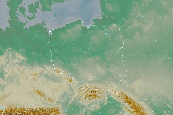
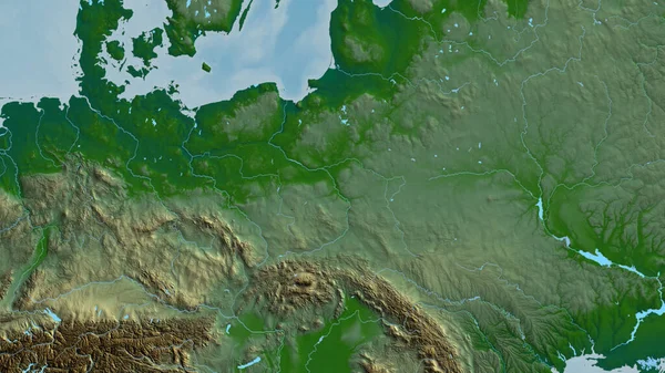
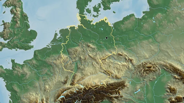
Stock image Extended area of outlined Germany. Topographic relief map. 3D rendering
Published: Aug.27, 2020 11:48:17
Author: Yarr65
Views: 5
Downloads: 2
File type: image / jpg
File size: 6.56 MB
Orginal size: 3000 x 2000 px
Available sizes:
Level: bronze
Similar stock images
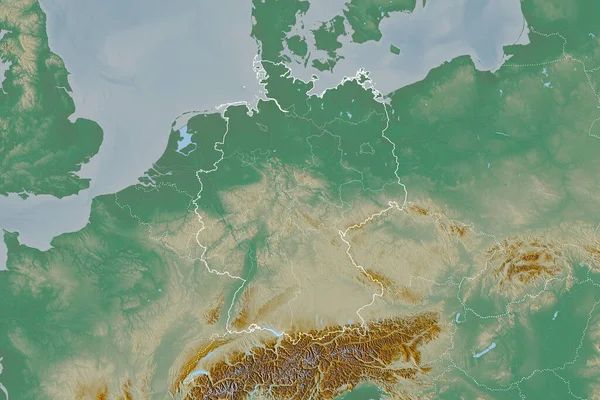
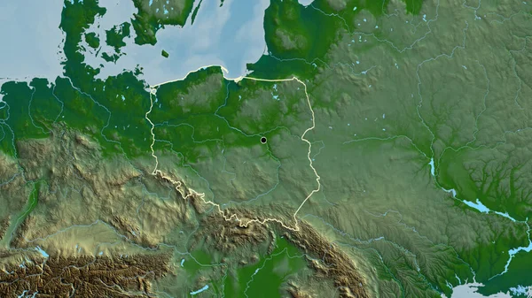
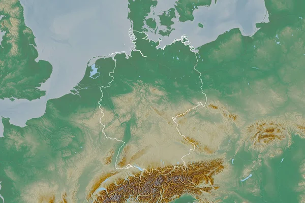
Close-up Of The Germany Border Area On A Relief Map. Capital Point. Outline Around The Country Shape.
3840 × 2160