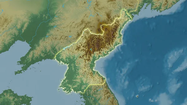
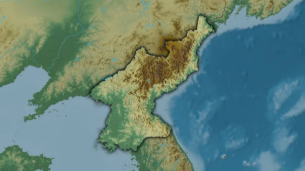
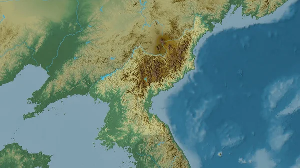
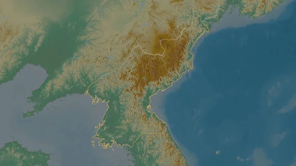
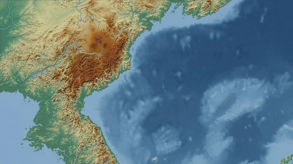
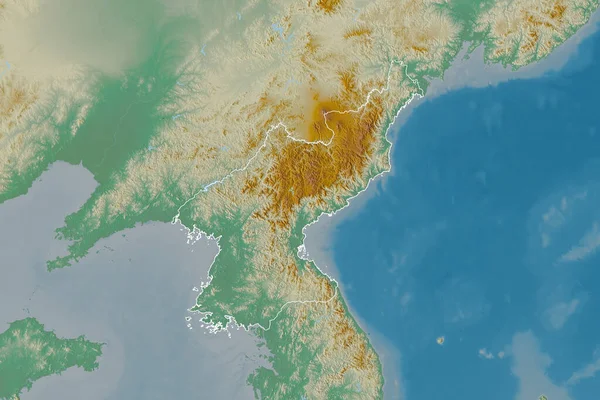
Stock image Extended area of outlined North Korea. Topographic relief map. 3D rendering
Published: Aug.19, 2020 06:27:31
Author: Yarr65
Views: 9
Downloads: 0
File type: image / jpg
File size: 5.45 MB
Orginal size: 3000 x 2000 px
Available sizes:
Level: bronze