Home
Images
Vectors
Videos
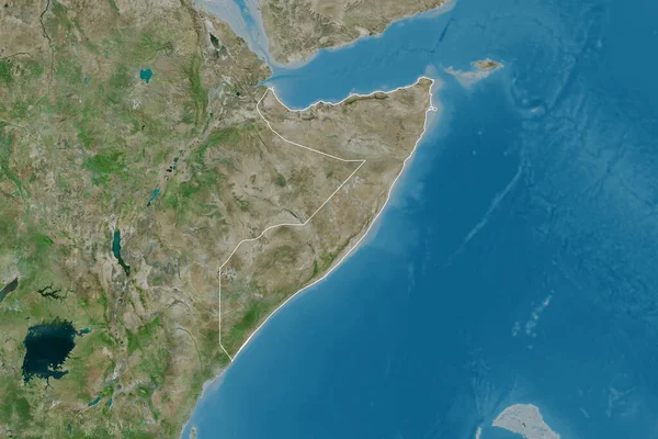
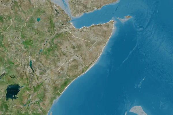
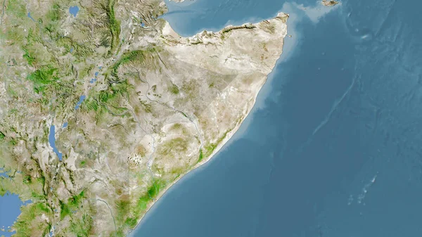
Stock image Extended area of outlined Somalia. Satellite imagery. 3D rendering
Published:
Sep.16, 2020 07:51:47
Author:
Yarr65
Views:
0
Downloads:
0
File type:
image
/
jpg
File size:
5.49 MB
Orginal size:
3000
x
2000
px
Available sizes:
S
(500 x 333)
M
(1000 x 667)
L
(2000 x 1333)
XL
(3000 x 2000)
EL0
(3000 x 2000)
Level:
bronze
Download Image
Image topics:
View
Travel
Nature
Sea
Landscape
Earth
Planet
World
Ocean
Science
Capital
Globe
Profile
Country
Map
Cartography
Geography
Africa
Continent
Land
Zoom
Satellite
Region
Territory
Atlas
Overlay
Som
Somalia
Mogadishu
3d Rendering
Subregion
Administrative Division
Similar stock images
Extended Area Of Somalia With Country Outline, International And Regional Borders. Satellite Imagery. 3D Rendering
3000 × 2000
Extended Area Of Somalia. Satellite Imagery. 3D Rendering
3000 × 2000
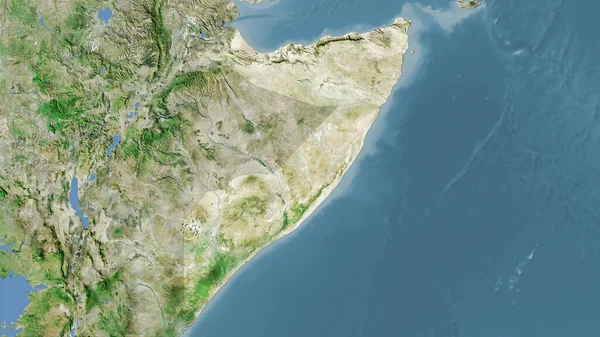
Somalia Area On The Satellite A Map In The Stereographic Projection - Raw Composition Of Raster Layers
2880 × 1620
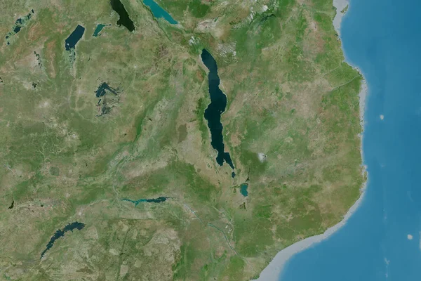
Somalia Area On The Satellite D Map In The Stereographic Projection - Raw Composition Of Raster Layers
2880 × 1620
Extended Area Of Malawi. Satellite Imagery. 3D Rendering
3000 × 2000
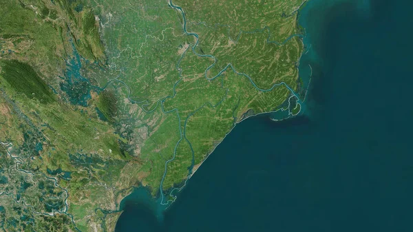
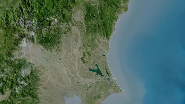
Nam Dinh , Province Of Vietnam. Satellite Imagery. Shape Outlined Against Its Country Area. 3D Rendering
2880 × 1620
Ibaraki, Prefecture Of Japan. Satellite Imagery. Shape Outlined Against Its Country Area. 3D Rendering
2880 × 1620
Outlined Shape Of The Somalia Area. Satellite Imagery. 3D Rendering
3840 × 2160