Home
Images
Vectors
Videos
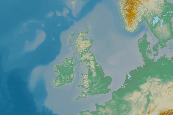
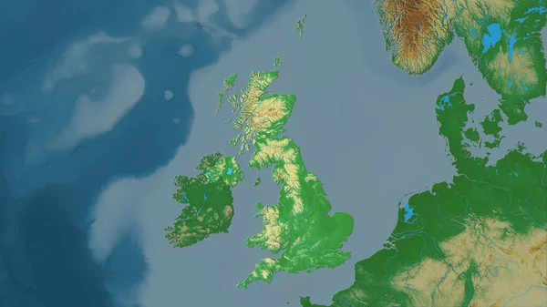
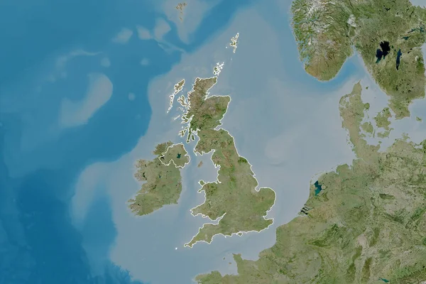
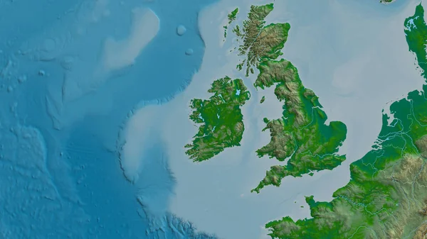
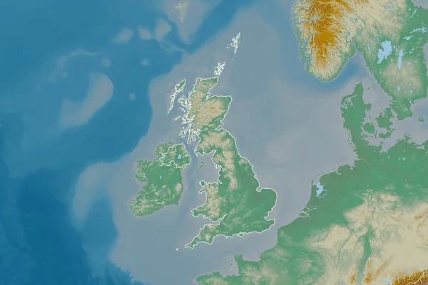
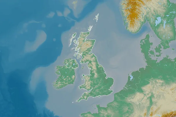
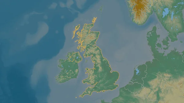
Stock image Extended area of outlined United Kingdom. Topographic relief map. 3D rendering
Published:
Aug.21, 2020 09:34:33
Author:
Yarr65
Views:
0
Downloads:
0
File type:
image
/
jpg
File size:
4.08 MB
Orginal size:
3000
x
2000
px
Available sizes:
S
(500 x 333)
M
(1000 x 667)
L
(2000 x 1333)
XL
(3000 x 2000)
EL0
(3000 x 2000)
Level:
bronze
Download Image
Image topics:
View
Travel
Nature
Sea
Landscape
Earth
Planet
World
Ocean
Science
Relief
Capital
Europe
Globe
Profile
Country
Map
Cartography
Geography
Continent
Land
Zoom
London
Region
Territory
Atlas
Overlay
GBR
3d Rendering
United Kingdom
Subregion
Administrative Division
Similar stock images
Extended Area Of United Kingdom With Country Outline, International And Regional Borders. Topographic Relief Map. 3D Rendering
3000 × 2000
Outlined Shape Of The United Kingdom Area. Topographic Relief Map With Surface Waters. 3D Rendering
3840 × 2160
Extended Area Of United Kingdom. Topographic Relief Map. 3D Rendering
3000 × 2000
United Kingdom Area On The Topographic Relief Map In The Stereographic Projection - Raw Composition Of Raster Layers With Dark Glowing Outline
2880 × 1620
Ireland Area On The Satellite D Map In The Stereographic Projection - Raw Composition Of Raster Layers
2880 × 1620
United Kingdom Area On The Topographic Relief Map In The Stereographic Projection - Raw Composition Of Raster Layers
2880 × 1620
Extended Area Of Outlined United Kingdom. Satellite Imagery. 3D Rendering
3000 × 2000
Ireland Zoomed And Neighborhood. Main Physical Landscape Features. 3D Rendering
2880 × 1620