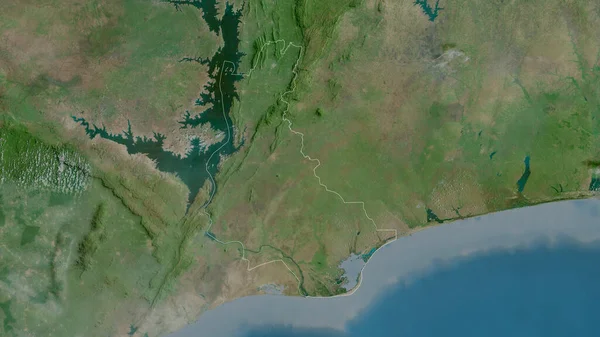
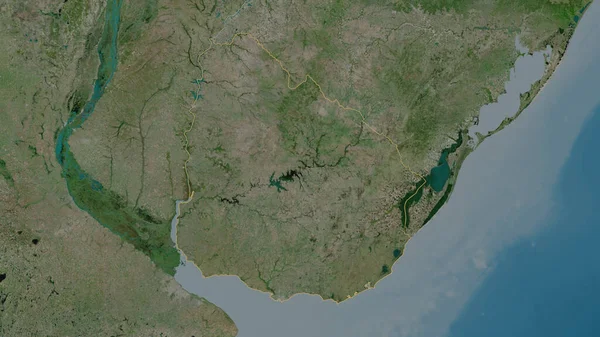
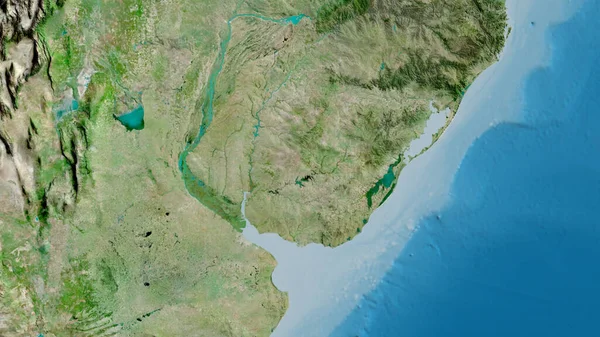
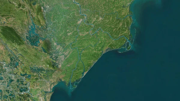
Stock image Extended area of Uruguay. Satellite imagery. 3D rendering

Published: Aug.28, 2020 14:44:58
Author: Yarr65
Views: 0
Downloads: 0
File type: image / jpg
File size: 8.43 MB
Orginal size: 3000 x 2000 px
Available sizes:
Level: bronze
Similar stock images


Nam Dinh , Province Of Vietnam. Satellite Imagery. Shape Outlined Against Its Country Area. 3D Rendering
2880 × 1620