Home
Images
Vectors
Videos
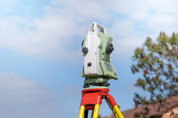
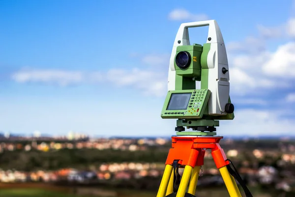
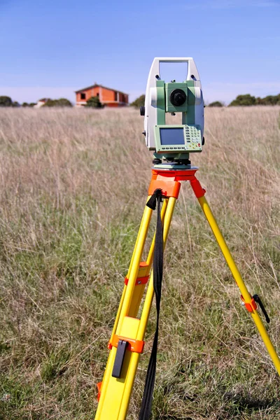
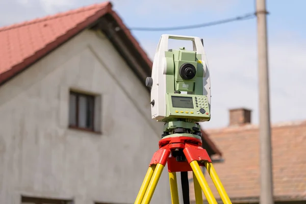
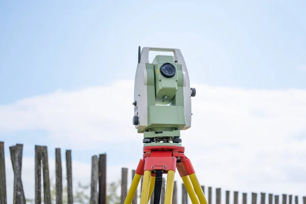
Stock image geodetic surveying station measures distances and angles in the field on a yellow tripod, professional equipment for land mapping
Published:
Jul.20, 2020 11:30:40
Author:
mimacz
Views:
48
Downloads:
1
File type:
image
/
jpg
File size:
6.55 MB
Orginal size:
5000
x
3336
px
Available sizes:
S
(500 x 334)
M
(1000 x 667)
L
(2000 x 1334)
XL
(5000 x 3336)
EL0
(5000 x 3336)
Level:
beginner
Download Image
Image topics:
Equipment
Outdoor
Industrial
Technology
Road
Position
Instrument
Accuracy
Building
Construction
Industry
Measuring
Measure
Measurement
Work
Tool
Optical
Safety
Point
Precision
Angle
Engineering
Site
Map
Cartography
Ground
Level
Construct
Worker
Builder
Engineer
Topography
Laser
Tripod
Examination
Survey
Reconstruction
Total
Positioning
Checking
Surveyor
Inspection
Geodesic
Levelling
Topographic
Surveying
Geodetic
Geodesy
Theodolite
Construction Site
Similar stock images
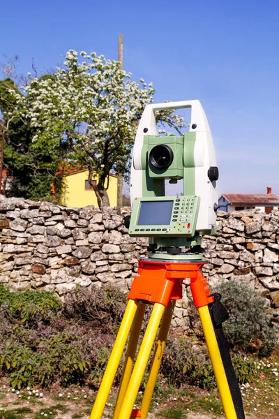
Professional Precision Surveying Equipment Houses Houses For Map Materials And Official Maps
5500 × 3667
Equipment For Geodesy And Surveying Total Station Measures Angles And Distances Of Various Points In The Field And Development
3716 × 5574
Geodetic Total Station Measures Distances And Angles For The Preparation Of Map Data
5500 × 3667
Survey Instrument Geodetic Device, Total Station Set In The Fiel
3456 × 5184
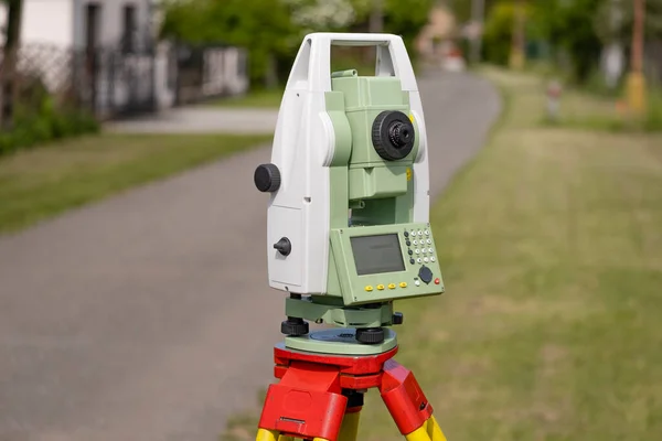
Modern Precision Equipment For Measuring Angle And Distance For Creating Maps And Official Records
5770 × 3846
Professional Surveying Stations For Measuring The Angle And Distance Outdoors, Precisely Modern Equipment
5000 × 3332
Survey Total Station
3000 × 2000
Total Station Set In The Field
3456 × 5184