
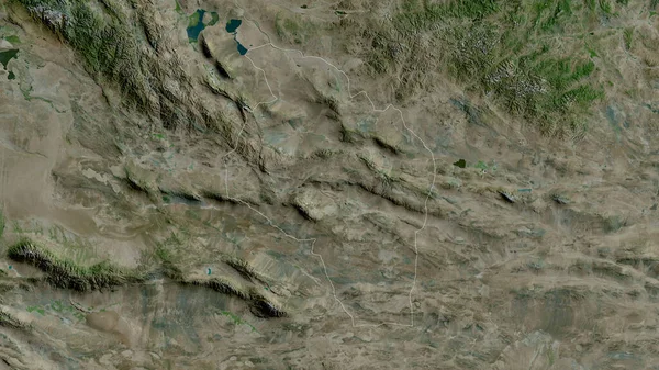
Stock image Govi-Altay, province of Mongolia. Satellite imagery. Shape outlined against its country area. 3D rendering
Published: Sep.16, 2020 07:12:18
Author: Yarr65
Views: 0
Downloads: 0
File type: image / jpg
File size: 6.32 MB
Orginal size: 2880 x 1620 px
Available sizes:
Level: bronze
Similar stock images

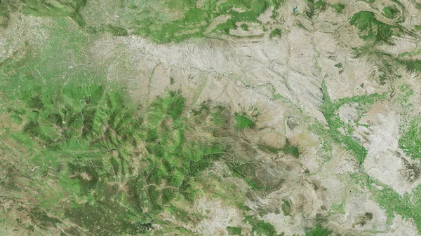
Gansu, Province Of China. Satellite Imagery. Shape Outlined Against Its Country Area. 3D Rendering
2880 × 1620

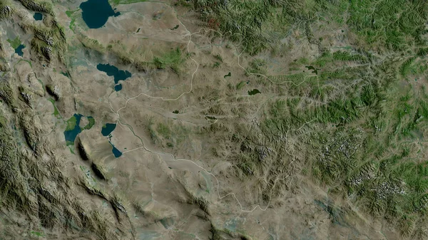
Bayanhongor, Province Of Mongolia. Satellite Imagery. Shape Outlined Against Its Country Area. 3D Rendering
2880 × 1620

Hovd, Province Of Mongolia. Satellite Imagery. Shape Outlined Against Its Country Area. 3D Rendering
2880 × 1620
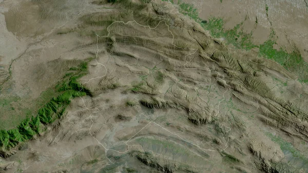
Dzavhan, Province Of Mongolia. Satellite Imagery. Shape Outlined Against Its Country Area. 3D Rendering
2880 × 1620
North Khorasan, Province Of Iran. Satellite Imagery. Shape Outlined Against Its Country Area. 3D Rendering
2880 × 1620

