Home
Images
Vectors
Videos
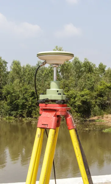
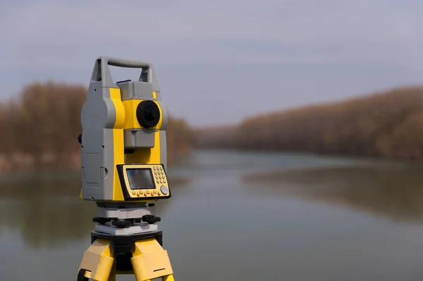
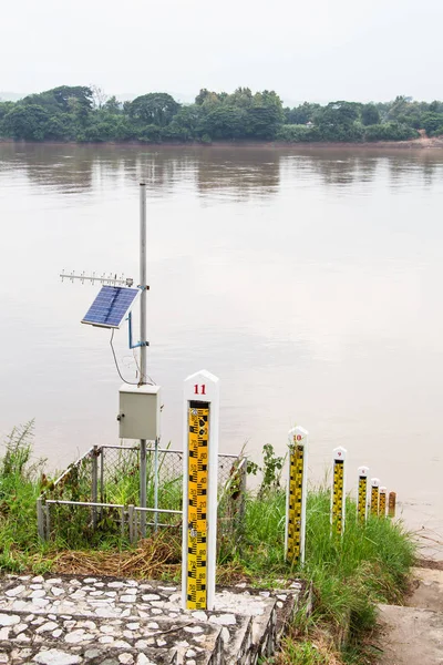
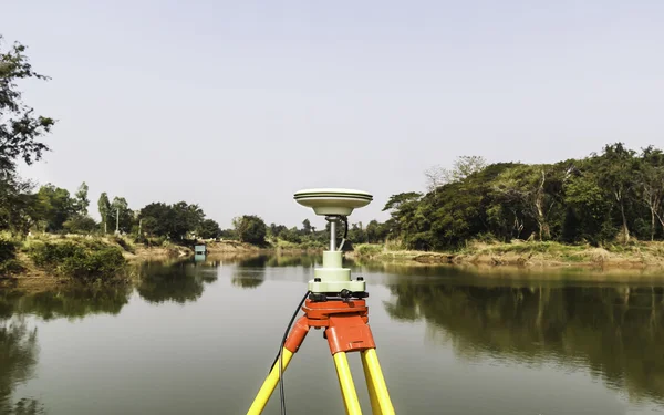
Stock image GPS surveying
Published:
Apr.12, 2014 23:23:03
Author:
phatthanit
Views:
256
Downloads:
17
File type:
image
/
jpg
File size:
2.56 MB
Orginal size:
3695
x
2312
px
Available sizes:
S
(500 x 313)
M
(1000 x 626)
L
(2000 x 1251)
XL
(3695 x 2312)
EL0
(3695 x 2312)
Level:
bronze
Download Image
Image topics:
Equipment
Outdoors
Electrical
Technology
Instrument
Accuracy
River
Construction
Working
Global
Data
Development
Measuring
Occupation
Measurement
Pole
Lens
Panoramic
Manual
System
Engineering
Map
Cartography
Land
Robot
Station
Target
Level
Worker
Engineer
Topography
Tripod
Effort
Rod
The
Near
Total
Gps
Positioning
Collector
Surveyor
Azimuth
Prism
Cartographer
Mensuration
Illinois
Surveying
Geodesy
Theodolite
Triangulation
Similar stock images
GPS Surveying
2904 × 4778
Closeup To The Hands Of A Latin Man Using His Cell Phone As A Drone Remote Control
6000 × 4000
On The Front Of A Yellow Surveyor`s Theodolite With Black Handle And Antenna, Is A Lcd Display, Operating Keys, And Perspective Lens. The Devise Is Fixed To A Black Tripod Base Plate.
4928 × 3264
Open Sky Is A Dream Of Surveyor To Get Maximum Number Of Sattelites To Have Highly Precision Coordinates
4940 × 3272
Surveyor Equipment On A Tripod Near River
4256 × 2832
Water Level Wiyh Solar Cells
3456 × 5184
In A Field Mounted On The Base Plate Of A Metal Tripod Is The Back View Of A Yellow Surveyor`s Theodolite With Black Handle And Antenna, And A Perspective Lens. On The Ground Is A Yellow Tool Kit
3264 × 4928
GPS Surveying
2904 × 4538