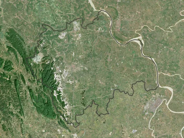
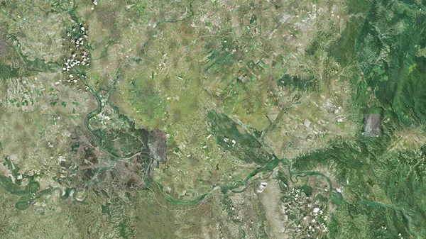
Stock image Grad Beograd, city of Serbia. Satellite imagery. Shape outlined against its country area. 3D rendering
Published: Sep.16, 2020 07:03:46
Author: Yarr65
Views: 3
Downloads: 1
File type: image / jpg
File size: 7.75 MB
Orginal size: 2880 x 1620 px
Available sizes:
Level: bronze
Similar stock images
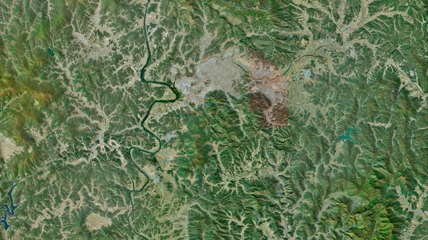
Juzno-Banatski, District Of Serbia. Satellite Imagery. Shape Outlined Against Its Country Area. 3D Rendering
2880 × 1620

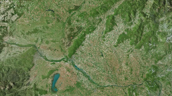
Branicevski, District Of Serbia. Satellite Imagery. Shape Outlined Against Its Country Area. 3D Rendering
2880 × 1620
Phu Tho, Province Of Vietnam. Satellite Imagery. Shape Outlined Against Its Country Area. 3D Rendering
2880 × 1620
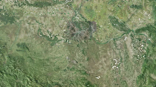
Macvanski, District Of Serbia. Satellite Imagery. Shape Outlined Against Its Country Area. 3D Rendering
2880 × 1620