photo free
Home Images Vectors Videos

Stock image Grayscale map of the world in the Compact Miller projection centered on the meridian 180 longitude
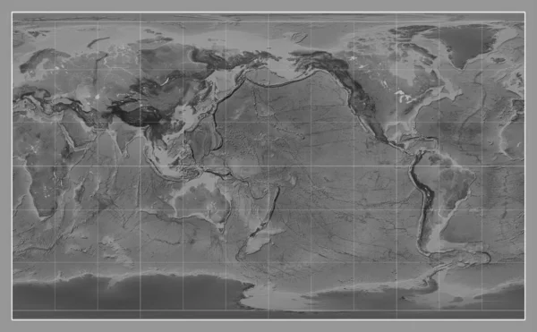
Stock image Grayscale map of the world in the Compact Miller projection centered on the meridian 180 longitude
Published: Aug.22, 2023 10:42:54
Author: Yarr65
Views: 0
Downloads: 0
File type: image / jpg
File size: 7.08 MB
Orginal size: 4653 x 2880 px
Available sizes:
S
(500 x 309)
M
(1000 x 619)
L
(2000 x 1238)
XL
(4653 x 2880)
EL0
(4653 x 2880)
Level: bronze
Download Image
Image topics:

Similar stock images

stock image Grayscale map of the world in the Miller Cylindrical projection centered on the meridian 180 longitude

Grayscale Map Of The World In The Miller Cylindrical Projection Centered On The Meridian 180 Longitude

3877 × 2880
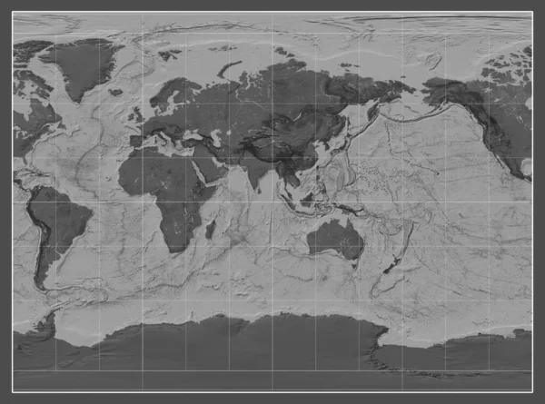
stock image Bilevel map of the world in the Compact Miller projection centered on the meridian 90 east longitude

Bilevel Map Of The World In The Compact Miller Projection Centered On The Meridian 90 East Longitude

4653 × 2880
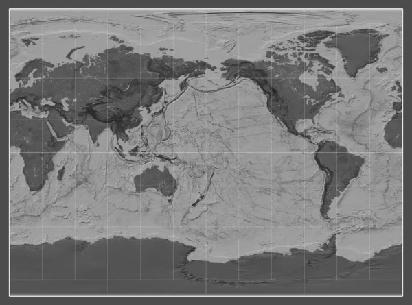
stock image Bilevel map of the world in the Miller Cylindrical projection centered on the meridian 90 east longitude

Bilevel Map Of The World In The Miller Cylindrical Projection Centered On The Meridian 90 East Longitude

3877 × 2880
stock image Tectonic plate boundaries on a bilevel map of the world in the Compact Miller projection centered on the meridian 90 east longitude

Tectonic Plate Boundaries On A Bilevel Map Of The World In The Compact Miller Projection Centered On The Meridian 90 East Longitude

4653 × 2880
stock image Tectonic plate boundaries on a bilevel map of the world in the Miller Cylindrical projection centered on the meridian 180 longitude

Tectonic Plate Boundaries On A Bilevel Map Of The World In The Miller Cylindrical Projection Centered On The Meridian 180 Longitude

3877 × 2880
stock image Bilevel map of the world in the Miller Cylindrical projection centered on the meridian 180 longitude

Bilevel Map Of The World In The Miller Cylindrical Projection Centered On The Meridian 180 Longitude

3877 × 2880
stock image Bilevel map of the world in the Miller Cylindrical projection centered on the meridian -90 west longitude

Bilevel Map Of The World In The Miller Cylindrical Projection Centered On The Meridian -90 West Longitude

3877 × 2880
stock image Bilevel map of the world in the Compact Miller projection centered on the meridian 180 longitude

Bilevel Map Of The World In The Compact Miller Projection Centered On The Meridian 180 Longitude

4653 × 2880