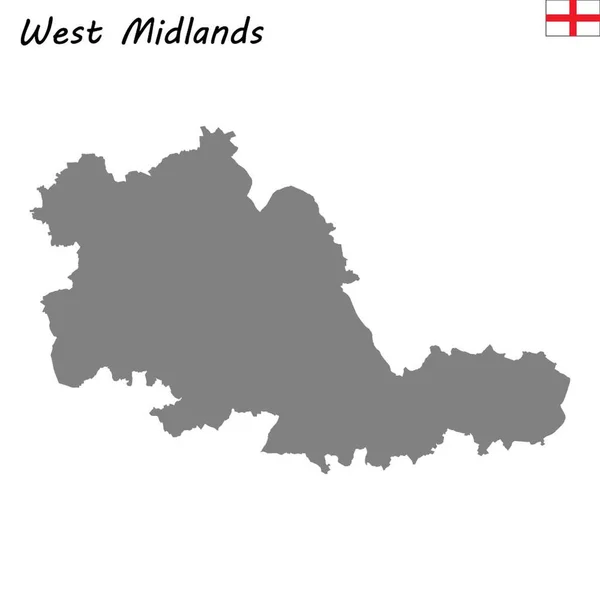
Stock image Grey county map of England West Midlands
Published: Apr.15, 2020 18:13:02
Author: PantherMediaSeller
Views: 1
Downloads: 0
File type: image / jpg
File size: 0 MB
Orginal size: 5000 x 5546 px
Available sizes:
Level: platinum