Home
Images
Vectors
Videos
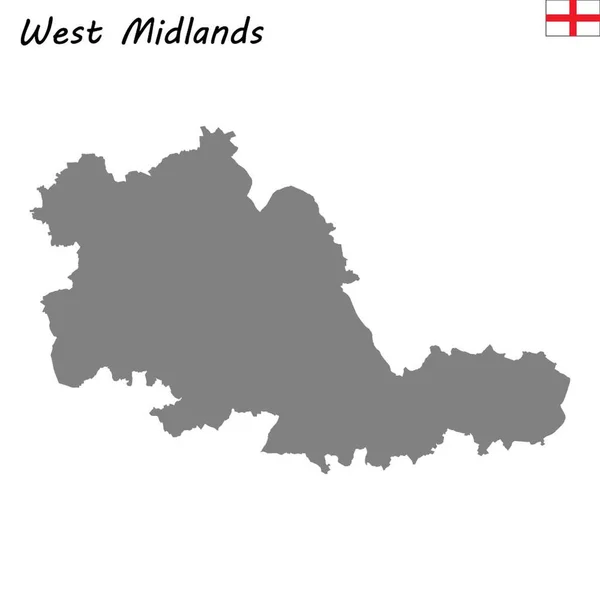
Stock vector West Midlands county divided in districts with labels, England
Published:
Jul.30, 2021 13:54:39
Author:
luisrftc
Views:
6
Downloads:
1
File type:
vector
/
eps
File size:
8.22 MB
Orginal size:
5000
x
3398
px
Available sizes:
S
(500 x 340)
M
(1000 x 680)
L
(2000 x 1359)
XL
(5000 x 3398)
VECT
(5000 x 3398)
EL0
(5000 x 3398)
Level:
bronze
Download Vector
Vector topics:
Vector
Graphic
Illustration
Design
Shape
New
Travel
Silhouette
Border
Modern
Center
City
Flat
Simple
Tourism
Detailed
Town
Capital
Royal
Outline
Country
District
Map
Cartography
Area
Uk
Trip
State
Administrative
Union
United
Britain
Region
Division
Sub
Territory
England
Metropolitan
County
Regional
Boroughs
Somerset
Birmingham
Coventry
Dudley
West Midlands
Wolverhampton
Walsall
Solihull
Similar stock vectors
Grey County Map Of England West Midlands
5000 × 5546
West Midlands England Map Black Inverted
5000 × 5546
Modern Digital Map - West Midlands Uk
3890 × 3664
High Quality Map Is A County Of England
4000 × 4000
Grey County Map Of England, East Midlands
5000 × 5585
High Quality Map Is A Ceremonial County Of England. West Midlands
4000 × 4000
East Midlands England Map Black Inverted
5000 × 5585
Leicestershire County Map Divided In Districts With Labels, England
5000 × 5000