photo free
Home Images Vectors Videos

Stock image Guatemala population heat map as color density illustration

Stock image Guatemala population heat map as color density illustration
Published: Nov.25, 2020 07:19:07
Author: ingomenhard
Views: 0
Downloads: 0
File type: image / jpg
File size: 6.03 MB
Orginal size: 8049 x 8500 px
Available sizes:
S
(473 x 500)
M
(947 x 1000)
L
(1894 x 2000)
XL
(8049 x 8500)
EL0
(8049 x 8500)
Level: bronze
Download Image
Image topics:

Similar stock images

stock image Map of Chad

Map Of Chad

5000 × 3750
stock image Botswana population heat map as color density illustration

Botswana Population Heat Map As Color Density Illustration

5264 × 5500
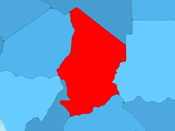
stock image Chad in red on blue political map with transparent oceans. 3D illustration.

Chad In Red On Blue Political Map With Transparent Oceans. 3D Illustration.

5000 × 3750
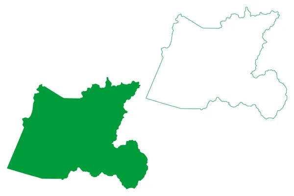
stock vector Muqui municipality (Espirito Santo state, Municipalities of Brazil, Federative Republic of Brazil) map vector illustration, scribble sketch map

Muqui Municipality (Espirito Santo State, Municipalities Of Brazil, Federative Republic Of Brazil) Map Vector Illustration, Scribble Sketch Map

7087 × 4726
stock image Angola population heat map as color density illustration

Angola Population Heat Map As Color Density Illustration

7045 × 7850
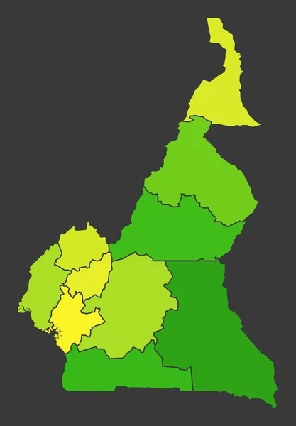
stock image Cameroon population heat map as color density illustration

Cameroon Population Heat Map As Color Density Illustration

5500 × 7915
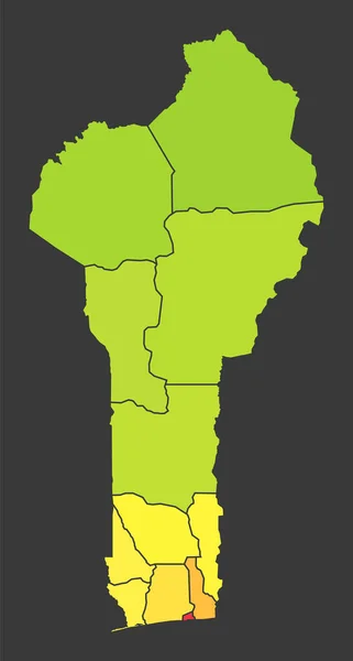
stock image Benin population heat map as color density illustration

Benin Population Heat Map As Color Density Illustration

5500 × 10277
stock vector Itaete municipality (Bahia state, Municipalities of Brazil, Federative Republic of Brazil) map vector illustration, scribble sketch Itaete map

Itaete Municipality (Bahia State, Municipalities Of Brazil, Federative Republic Of Brazil) Map Vector Illustration, Scribble Sketch Itaete Map

7087 × 4726