Home
Images
Vectors
Videos
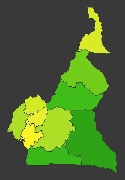
Stock image Cameroon population heat map as color density illustration
Published:
Oct.19, 2021 07:04:47
Author:
ingomenhard
Views:
1
Downloads:
0
File type:
image
/
jpg
File size:
3.69 MB
Orginal size:
5500
x
7915
px
Available sizes:
S
(347 x 500)
M
(695 x 1000)
L
(1390 x 2000)
XL
(5500 x 7915)
EL0
(5500 x 7915)
Level:
bronze
Download Image
Image topics:
Colorful
Graphic
Illustration
Design
Shape
New
Travel
People
Silhouette
Modern
Symbol
Concept
Flat
Heat
Contour
Simple
Science
Country
District
Map
Cartography
Geography
Area
National
Living
Trip
State
Borders
Administrative
Department
States
Division
Population
Territory
Province
Nation
Density
Regional
Regions
Cameroon
Counties
Departments
Conurbation
Living Area
Heat Map
Color Level
Similar stock images
Highly Detailed Editable Political Map With Separated Layers. Afghanistan.
4001 × 2949
Afghanistan Population Heat Map As Color Density Illustration
7850 × 6111
Afghanistan
4520 × 4520
Guatemala Population Heat Map As Color Density Illustration
8049 × 8500
Dominica
4520 × 4520
Angola Population Heat Map As Color Density Illustration
7045 × 7850
Bolivia Population Heat Map As Color Density Illustration
5500 × 6175
Azerbaijan Population Heat Map As Color Density Illustration
7850 × 6284