photo free
Home Images Vectors Videos

Stock image Guerrero, state of Mexico. Satellite imagery. Shape outlined against its country area. 3D rendering
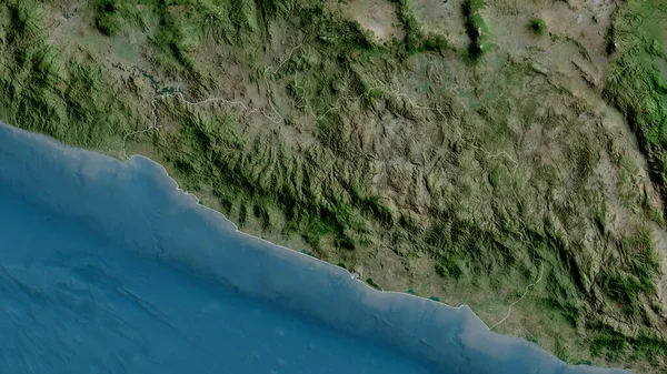
Stock image Guerrero, state of Mexico. Satellite imagery. Shape outlined against its country area. 3D rendering
Published: Aug.21, 2020 09:11:36
Author: Yarr65
Views: 0
Downloads: 0
File type: image / jpg
File size: 6.28 MB
Orginal size: 2880 x 1620 px
Available sizes:
S
(500 x 281)
M
(1000 x 563)
L
(2000 x 1125)
XL
(2880 x 1620)
EL0
(2880 x 1620)
Level: bronze
Download Image
Image topics:

Similar stock images

stock image Michoacan, state of Mexico. Satellite imagery. Shape outlined against its country area. 3D rendering

Michoacan, State Of Mexico. Satellite Imagery. Shape Outlined Against Its Country Area. 3D Rendering

2880 × 1620
stock image Arequipa, region of Peru. Satellite imagery. Shape outlined against its country area. 3D rendering

Arequipa, Region Of Peru. Satellite Imagery. Shape Outlined Against Its Country Area. 3D Rendering

2880 × 1620
stock image Colima, state of Mexico. Satellite imagery. Shape outlined against its country area. 3D rendering

Colima, State Of Mexico. Satellite Imagery. Shape Outlined Against Its Country Area. 3D Rendering

2880 × 1620
stock image Lima, region of Peru. Satellite imagery. Shape outlined against its country area. 3D rendering

Lima, Region Of Peru. Satellite Imagery. Shape Outlined Against Its Country Area. 3D Rendering

2880 × 1620
stock image Tacna, region of Peru. Satellite imagery. Shape outlined against its country area. 3D rendering

Tacna, Region Of Peru. Satellite Imagery. Shape Outlined Against Its Country Area. 3D Rendering

2880 × 1620
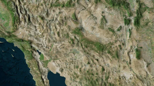
stock image Arizona, state of United States. Satellite imagery. Shape outlined against its country area. 3D rendering

Arizona, State Of United States. Satellite Imagery. Shape Outlined Against Its Country Area. 3D Rendering

2880 × 1620
stock image Ancash, region of Peru. Satellite imagery. Shape outlined against its country area. 3D rendering

Ancash, Region Of Peru. Satellite Imagery. Shape Outlined Against Its Country Area. 3D Rendering

2880 × 1620
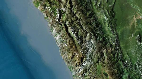
stock image Puno, region of Peru. Satellite imagery. Shape outlined against its country area. 3D rendering

Puno, Region Of Peru. Satellite Imagery. Shape Outlined Against Its Country Area. 3D Rendering

2880 × 1620