Home
Images
Vectors
Videos
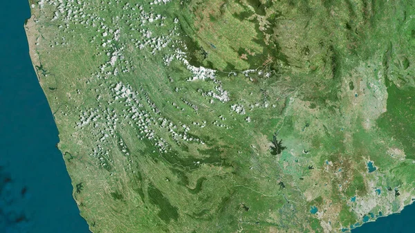
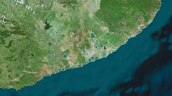
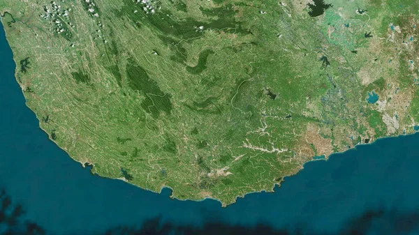
Stock image Hambantota, district of Sri Lanka. Satellite imagery. Shape outlined against its country area. 3D rendering
Published:
Sep.16, 2020 07:07:42
Author:
Yarr65
Views:
0
Downloads:
0
File type:
image
/
jpg
File size:
5.92 MB
Orginal size:
2880
x
1620
px
Available sizes:
S
(500 x 281)
M
(1000 x 563)
L
(2000 x 1125)
XL
(2880 x 1620)
EL0
(2880 x 1620)
Level:
bronze
Download Image
Image topics:
View
Shape
Travel
Nature
Border
Landscape
Glow
Contour
Scale
Earth
Planet
World
Ocean
Science
Capital
Profile
Outline
Country
District
Map
Cartography
Geography
Continent
Land
Zoom
Asia
Satellite
Region
Territory
Outlined
Atlas
Legend
Overlay
Colombo
3d Rendering
Sri Lanka
Subregion
Hambantota
Lka
Administrative Division
Similar stock images
Eastern Cape, Province Of South Africa. Satellite Imagery. Shape Outlined Against Its Country Area. 3D Rendering
2880 × 1620
Matara, District Of Sri Lanka. Satellite Imagery. Shape Outlined Against Its Country Area. 3D Rendering
2880 × 1620
Extended Area Of Liberia. Satellite Imagery. 3D Rendering
3000 × 2000
Zoom In On Hambantota (district Of Sri Lanka) Outlined. Oblique Perspective. Satellite Imagery. 3D Rendering
3840 × 2160
Guinea On Physical Map
5000 × 3750
Extended Area Of Liberia With Country Outline, International And Regional Borders. Satellite Imagery. 3D Rendering
3000 × 2000
Ratnapura, District Of Sri Lanka. Satellite Imagery. Shape Outlined Against Its Country Area. 3D Rendering
2880 × 1620
Western Cape, Province Of South Africa. Satellite Imagery. Shape Outlined Against Its Country Area. 3D Rendering
2880 × 1620