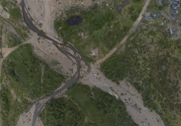
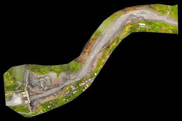
Stock image high resolution orthorectified orthorectification aerial map used for photogrammetry in banos ecuador
Published: May.25, 2020 14:35:02
Author: ammmit
Views: 5
Downloads: 1
File type: image / jpg
File size: 5.91 MB
Orginal size: 5000 x 3350 px
Available sizes:
Level: bronze
Similar stock images
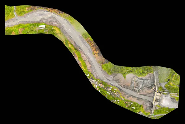
High Resolution Orthorectified, Orthorectification Aerial Map Used For Photogrammetry In Banos Ecuador
5000 × 3350