photo free
Home Images Vectors Videos

Stock image High resolution topographic map of Alabama
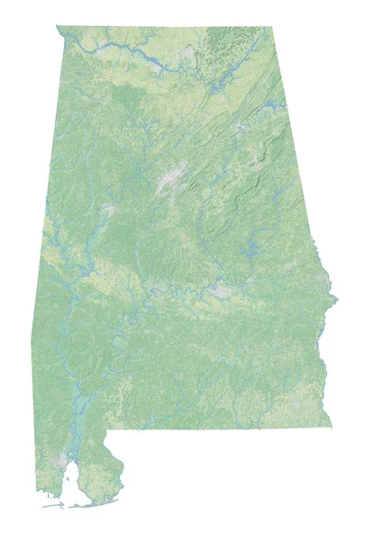
Stock image High resolution topographic map of Alabama
Published: Jan.27, 2021 15:14:18
Author: intrepix
Views: 1
Downloads: 2
File type: image / jpg
File size: 3 MB
Orginal size: 4960 x 7015 px
Available sizes:
S
(354 x 500)
M
(707 x 1000)
L
(1414 x 2000)
XL
(4960 x 7015)
EL0
(4960 x 7015)
Level: beginner
Download Image
Image topics:

Similar stock images

stock image Mississippi, state of United States of America. Bilevel elevation map with lakes and rivers

Mississippi, State Of United States Of America. Bilevel Elevation Map With Lakes And Rivers

3840 × 2880
stock vector Mississippi MS State Border USA Map Outline

Mississippi MS State Border USA Map Outline

8334 × 8334
stock image High resolution topographic map of Georgia

High Resolution Topographic Map Of Georgia

5433 × 7015
stock vector Accurate map of Alabama

Accurate Map Of Alabama

4000 × 5000
stock image Polygonal Wire Frame Mesh High Detail Raster Map of Mississippi State Abstractions

Polygonal Wire Frame Mesh High Detail Raster Map Of Mississippi State Abstractions

3228 × 4957
stock vector Accurate map of Mississippi

Accurate Map Of Mississippi

4000 × 5000
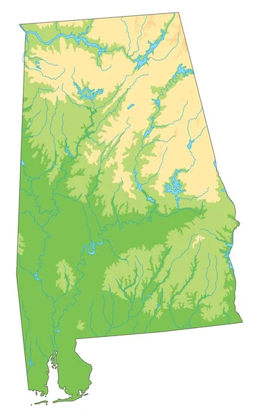
stock vector High detailed Alabama physical map.

High Detailed Alabama Physical Map.

3283 × 5315
stock vector Jackson County, Colorado (U.S. county, United States of America,USA, U.S., US) map vector illustration, scribble sketch Jackson map

Jackson County, Colorado (U.S. County, United States Of America,USA, U.S., US) Map Vector Illustration, Scribble Sketch Jackson Map

7087 × 4726