Home
Images
Vectors
Videos
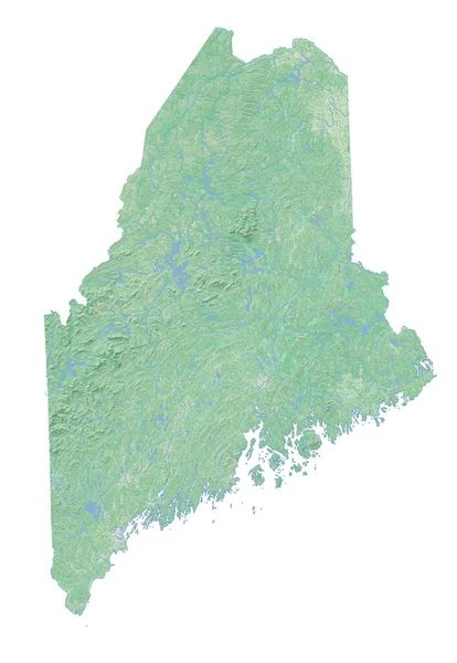
Stock image High resolution topographic map of Maine
Published:
Feb.18, 2021 07:37:02
Author:
intrepix
Views:
4
Downloads:
2
File type:
image
/
jpg
File size:
1.93 MB
Orginal size:
4488
x
6496
px
Available sizes:
S
(345 x 500)
M
(691 x 1000)
L
(1382 x 2000)
XL
(4488 x 6496)
EL0
(4488 x 6496)
Level:
beginner
Download Image
Image topics:
Background
Colored
Illustration
Isolated
Shape
Water
River
Physical
Earth
Us
Usa
Surface
Relief
Elevation
Map
Cartography
Geography
Land
State
Chart
Topography
Terrain
America
Places
Maine
Territory
Atlas
Drainage
Regional
Rivers
Shaded
Topographic
Populated
Topographical
High Resolution
United States
High Detail
Physical Map
Hill Shade
Base Map
Similar stock images
Shape Of Saare, County Of Estonia, With Its Capital Isolated On White Background. Satellite Imagery. 3D Rendering
3773 × 3836
Shape Of South Gloucestershire, Unitary Authority Of England, With Its Capital Isolated On White Background. Topographic Relief Map. 3D Rendering
3836 × 3815
Shape Of Los Rios, Province Of Ecuador, With Its Capital Isolated On White Background. Topographic Relief Map. 3D Rendering
2025 × 3836
Shape Of Barima-Waini, Region Of Guyana, With Its Capital Isolated On White Background. Topographic Relief Map. 3D Rendering
3836 × 3253
Shape Of Upper Takutu-Upper Essequibo, Region Of Guyana, With Its Capital Isolated On White Background. Satellite Imagery. 3D Rendering
2459 × 3836
Shape Of Mahajanga, Autonomous Province Of Madagascar, With Its Capital Isolated On White Background. Topographic Relief Map. 3D Rendering
3782 × 3836
Shape Of Chumphon, Province Of Thailand, With Its Capital Isolated On White Background. Satellite Imagery. 3D Rendering
2475 × 3836
Shape Of Ong Nai, Province Of Vietnam, With Its Capital Isolated On White Background. Topographic Relief Map. 3D Rendering
3163 × 3836