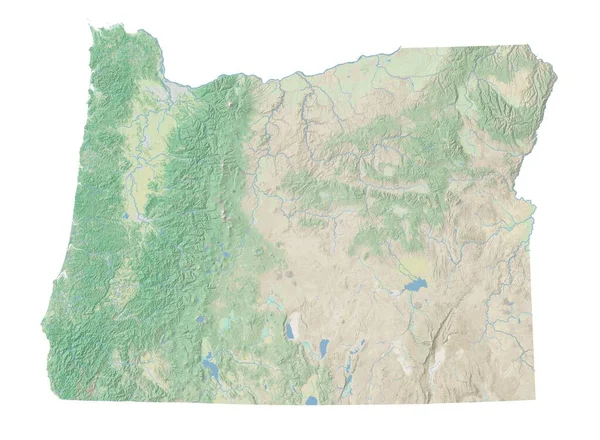
Stock image High resolution topographic map of Oregon
Published: Jan.27, 2021 15:14:18
Author: intrepix
Views: 7
Downloads: 2
File type: image / jpg
File size: 4.92 MB
Orginal size: 8858 x 6496 px
Available sizes:
Level: beginner