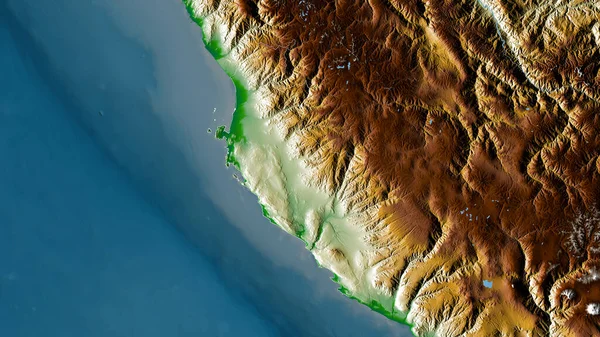
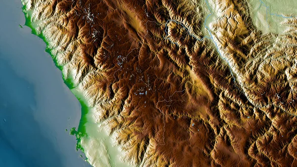
Stock image Ica, region of Peru. Colored shader data with lakes and rivers. Shape outlined against its country area. 3D rendering
Published: Aug.28, 2020 10:12:28
Author: Yarr65
Views: 21
Downloads: 1
File type: image / jpg
File size: 5.35 MB
Orginal size: 2880 x 1620 px
Available sizes:
Level: bronze
Similar stock images
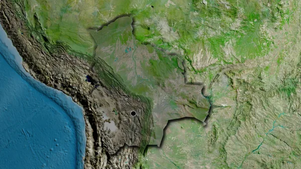
Ancash, Region Of Peru. Satellite Imagery. Shape Outlined Against Its Country Area. 3D Rendering
2880 × 1620