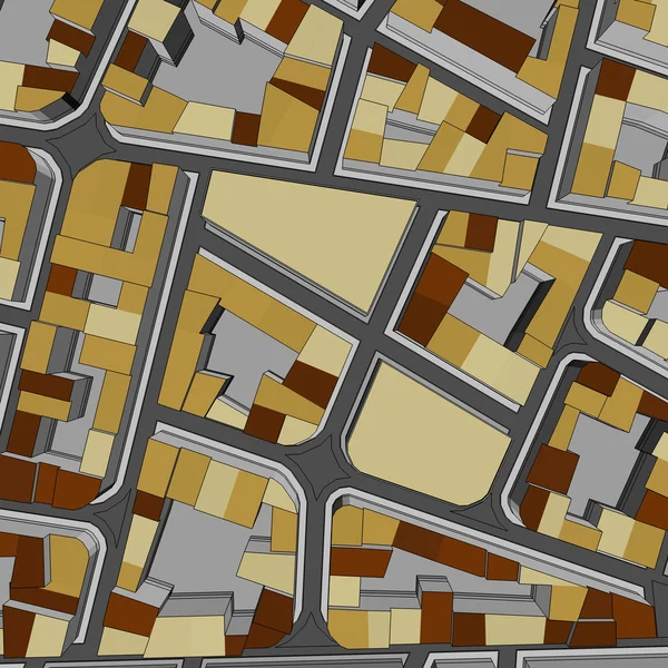
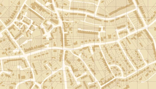
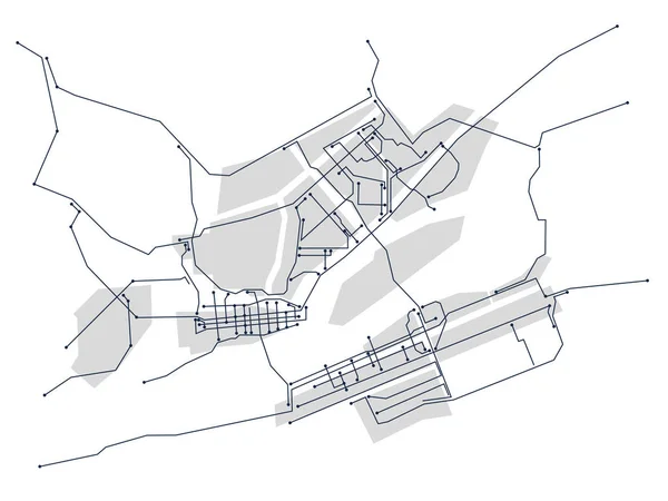
Stock image Imaginary cadastral map of territory with buildings and roads

Published: May.23, 2019 11:19:55
Author: Francescoscatena
Views: 22
Downloads: 1
File type: image / jpg
File size: 10.12 MB
Orginal size: 5000 x 3600 px
Available sizes:
Level: bronze