photo free
Home Images Vectors Videos

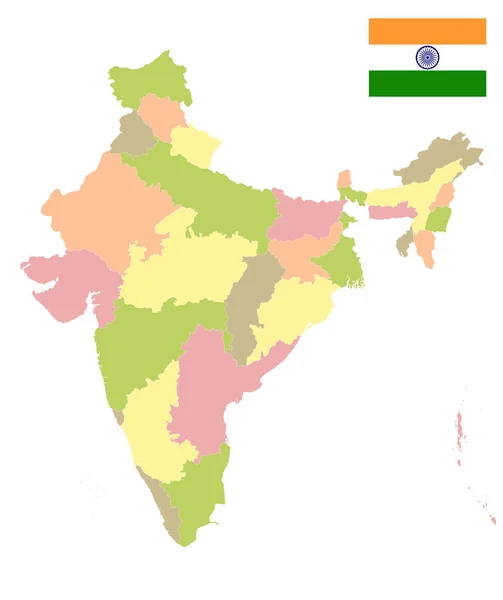
Stock image India population heat map as color density illustration

Stock image India population heat map as color density illustration
Published: Nov.25, 2020 07:19:07
Author: ingomenhard
Views: 17
Downloads: 0
File type: image / jpg
File size: 6.3 MB
Orginal size: 7793 x 8500 px
Available sizes:
S
(458 x 500)
M
(917 x 1000)
L
(1834 x 2000)
XL
(7793 x 8500)
EL0
(7793 x 8500)
Level: bronze
Download Image
Image topics:

Similar stock images

stock vector India Country States Outline Map Isolated Illustration Travel Culture Geography Background

India Country States Outline Map Isolated Illustration Travel Culture Geography Background

8192 × 8192
stock vector India - Highly detailed editable political map.

India - Highly Detailed Editable Political Map.

4182 × 4620
stock vector High quality political map of India and Bangladesh with borders of the regions or provinces. Vector illustration

High Quality Political Map Of India And Bangladesh With Borders Of The Regions Or Provinces. Vector Illustration

4000 × 4000
stock vector India map countries

India Map Countries

4520 × 4520
stock vector Highly detailed editable political map with separated layers. India.

Highly Detailed Editable Political Map With Separated Layers. India.

4182 × 4620
stock vector India map

India map

4520 × 4520
stock vector India map

India Map

4649 × 4649
stock vector India Political Map. Isolated On White. No text. Vector illustration.

India Political Map. Isolated On White. No Text. Vector Illustration.

4000 × 4770