Home
Images
Vectors
Videos
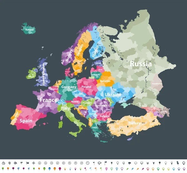
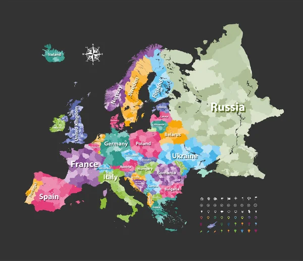
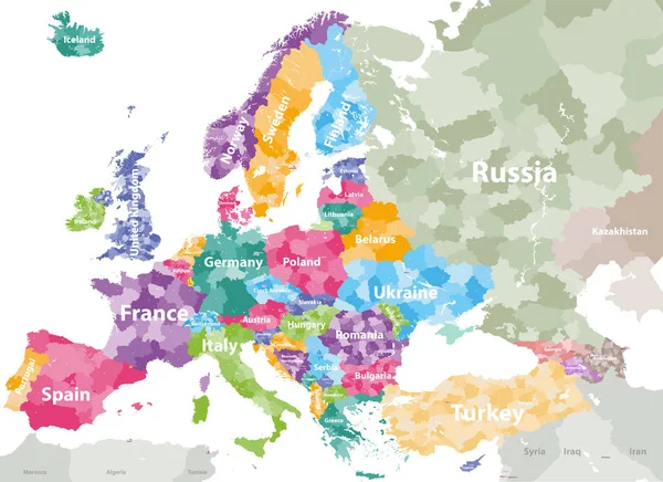
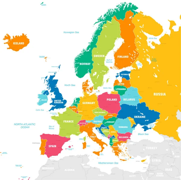
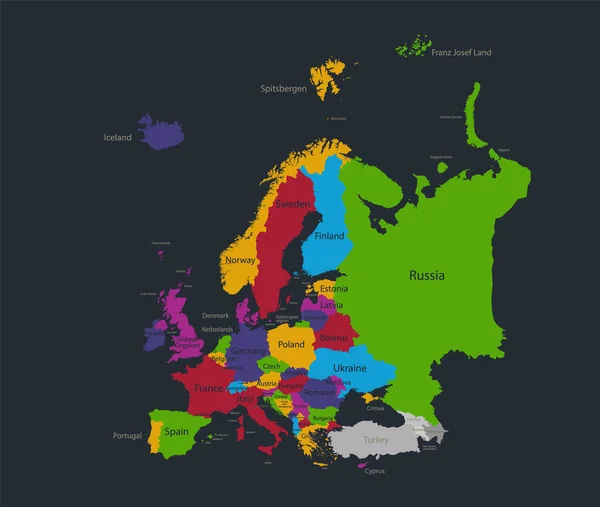
Stock image Infographics Europe map, flat design colors, with names of individual states, blue background blank
Published:
Nov.27, 2020 08:17:28
Author:
Mondi.h
Views:
2
Downloads:
0
File type:
image
/
jpg
File size:
1.99 MB
Orginal size:
4492
x
3800
px
Available sizes:
S
(500 x 423)
M
(1000 x 846)
L
(2000 x 1692)
XL
(4492 x 3800)
EL0
(4492 x 3800)
Level:
bronze
Download Image
Image topics:
Color
Background
Colorful
Graphic
Colored
Design
Business
Travel
European
Silhouette
Modern
Symbol
Concept
Blank
Communication
Data
Information
Earth
Web
World
France
Template
Europe
Raster
Website
Point
Application
Outline
Country
Map
Geography
Continent
Germany
Turkey
Greece
State
Graph
Island
Administrative
Region
Blackboard
Division
Diagram
Poland
Marks
Infographic
European Union
Dark Background
Europe Map
Flat Design
Similar stock images
Europe Map Colored By Countries With Regions Borders. Navigation, Location And Travel Icons Collection. All Elements Separated In Labeled And Detachable Layers. Vector
7292 × 6731
Europe Map Colored By Countries With Regions Borders. Navigation, Location And Travel Icons Collection. Vector
7292 × 6275
Editable Template Of Map Of Norway With Marks. Norway On World Map And On Europe Map.
4000 × 5200
North Europe Region. Map Of Countries Of Scandinavia. Vector Illustration
6000 × 6000
High Detailed Colored Political Map Of Europe With Countries' Regions. Vector
7285 × 5297
Europe Map
5609 × 6317
Vector Map Of European Continent With Countries, Capitals, Main Cities And Seas And Islands Names In Strong Brilliant Colors.
6738 × 6734
Europe High Detailed Vector Political Map With Location\navigation Icons.
7292 × 5911