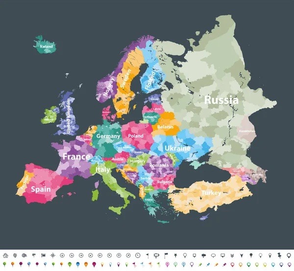
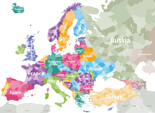
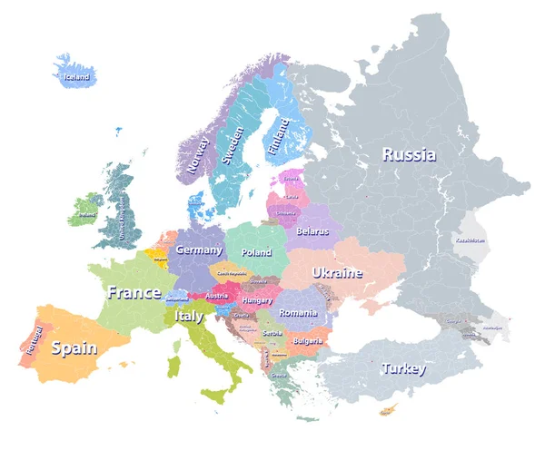
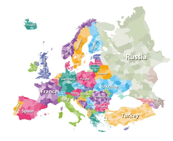
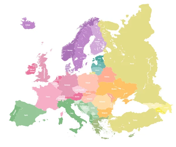
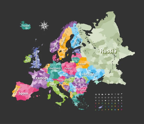
Stock vector Europe map colored by countries with regions borders. Navigation, location and travel icons collection. Vector
Published: Aug.29, 2017 14:22:30
Author: Jktu_21
Views: 103
Downloads: 0
File type: vector / eps
File size: 11.86 MB
Orginal size: 7292 x 6275 px
Available sizes:
Level: silver