
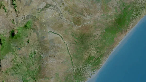
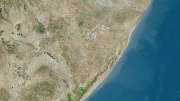
Stock image Jubbada Hoose, region of Somalia. Satellite imagery. Shape outlined against its country area. 3D rendering

Published: Aug.26, 2020 13:56:42
Author: Yarr65
Views: 0
Downloads: 0
File type: image / jpg
File size: 4.59 MB
Orginal size: 2880 x 1620 px
Available sizes:
Level: bronze
Similar stock images
Garissa, County Of Kenya. Satellite Imagery. Shape Outlined Against Its Country Area. 3D Rendering
2880 × 1620
Galguduud, Region Of Somalia. Satellite Imagery. Shape Outlined Against Its Country Area. 3D Rendering
2880 × 1620

Close-up Of The Uruguay Border Area On A Satellite Map. Capital Point. Outline Around The Country Shape.
3840 × 2160


Mudug, Region Of Somalia. Satellite Imagery. Shape Outlined Against Its Country Area. 3D Rendering
2880 × 1620

