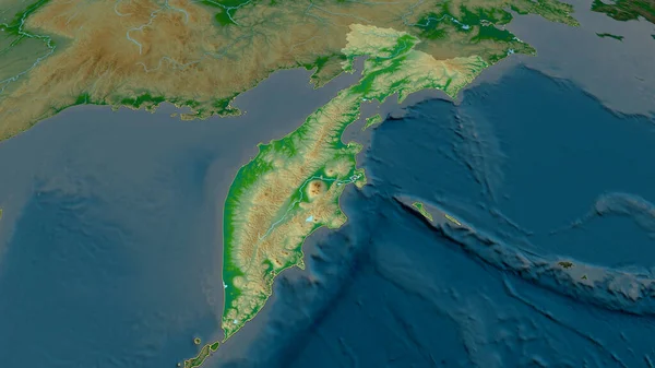
Stock image Kamchatka - territory of Russia zoomed and highlighted. Main physical landscape features. 3D rendering
Published: Jul.13, 2020 14:12:50
Author: Yarr65
Views: 3
Downloads: 1
File type: image / jpg
File size: 3.33 MB
Orginal size: 2880 x 1620 px
Available sizes:
Level: bronze
Similar stock images
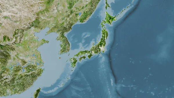
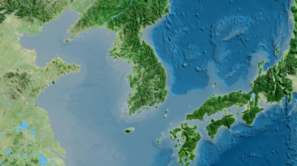
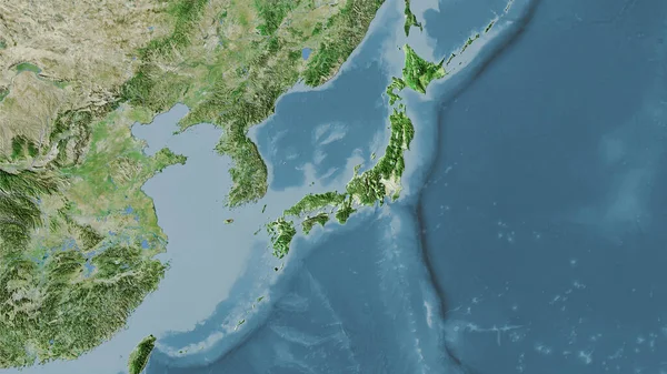
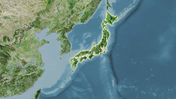
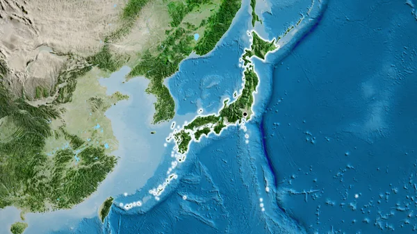
Japan Area On The Satellite A Map In The Stereographic Projection - Raw Composition Of Raster Layers
2880 × 1620