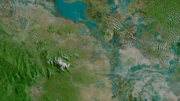
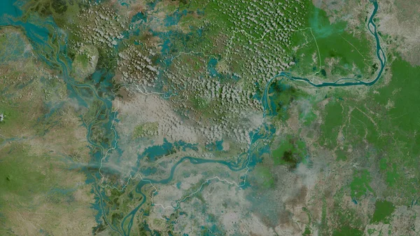
Stock image Kampong Chhnang, province of Cambodia. Satellite imagery. Shape outlined against its country area. 3D rendering
Published: Jun.26, 2020 08:00:05
Author: Yarr65
Views: 1
Downloads: 0
File type: image / jpg
File size: 7.26 MB
Orginal size: 2880 x 1620 px
Available sizes:
Level: bronze
Similar stock images
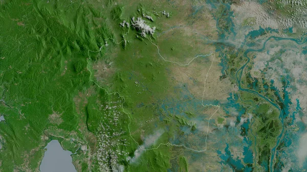
Kampong Cham, Province Of Cambodia. Satellite Imagery. Shape Outlined Against Its Country Area. 3D Rendering
2880 × 1620

Tbong Khmum, Province Of Cambodia. Satellite Imagery. Shape Outlined Against Its Country Area. 3D Rendering
2880 × 1620
Kampong Sp, Province Of Cambodia. Satellite Imagery. Shape Outlined Against Its Country Area. 3D Rendering
2880 × 1620

Kandal, Province Of Cambodia. Satellite Imagery. Shape Outlined Against Its Country Area. 3D Rendering
2880 × 1620