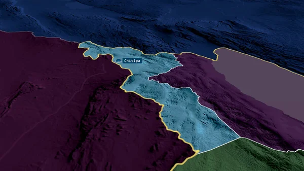
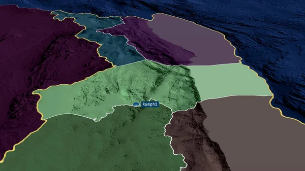
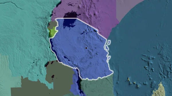
Stock image Karonga - district of Malawi zoomed and highlighted. Colored and bumped map of the administrative division. 3D rendering

Published: Aug.04, 2020 13:53:53
Author: Yarr65
Views: 0
Downloads: 0
File type: image / jpg
File size: 3.54 MB
Orginal size: 2880 x 1620 px
Available sizes:
Level: bronze