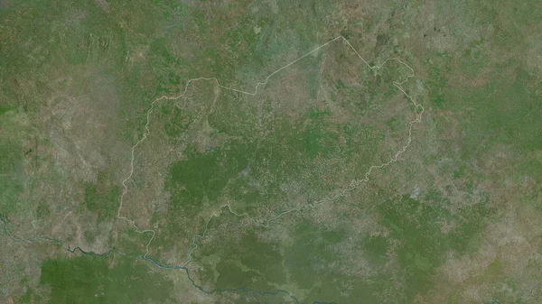
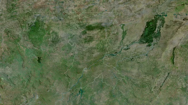
Stock image Kayes, region of Mali. Satellite imagery. Shape outlined against its country area. 3D rendering

Published: Sep.16, 2020 09:42:51
Author: Yarr65
Views: 0
Downloads: 0
File type: image / jpg
File size: 7.31 MB
Orginal size: 2880 x 1620 px
Available sizes:
Level: bronze
Similar stock images
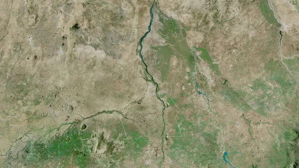
Tambacounda, Region Of Senegal. Satellite Imagery. Shape Outlined Against Its Country Area. 3D Rendering
2880 × 1620

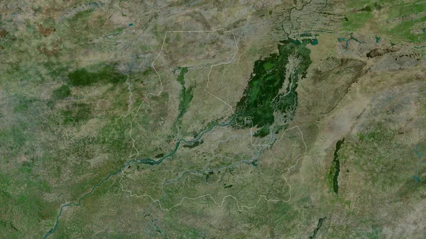
South Kurdufan, State Of Sudan. Satellite Imagery. Shape Outlined Against Its Country Area. 3D Rendering
2880 × 1620
Koulikoro, Region Of Mali. Satellite Imagery. Shape Outlined Against Its Country Area. 3D Rendering
2880 × 1620