photo free
Home Images Vectors Videos

Stock image Loreto, region of Peru. Satellite imagery. Shape presented against its country area with informative overlays. 3D rendering

Stock image Loreto, region of Peru. Satellite imagery. Shape presented against its country area with informative overlays. 3D rendering
Published: Aug.26, 2020 13:51:21
Author: Yarr65
Views: 5
Downloads: 0
File type: image / jpg
File size: 4.49 MB
Orginal size: 2880 x 1620 px
Available sizes:
S
(500 x 281)
M
(1000 x 563)
L
(2000 x 1125)
XL
(2880 x 1620)
EL0
(2880 x 1620)
Level: bronze
Download Image
Image topics:

Similar stock images

stock image Kon Tum, province of Vietnam. Satellite imagery. Shape presented against its country area with informative overlays. 3D rendering

Kon Tum, Province Of Vietnam. Satellite Imagery. Shape Presented Against Its Country Area With Informative Overlays. 3D Rendering

2880 × 1620
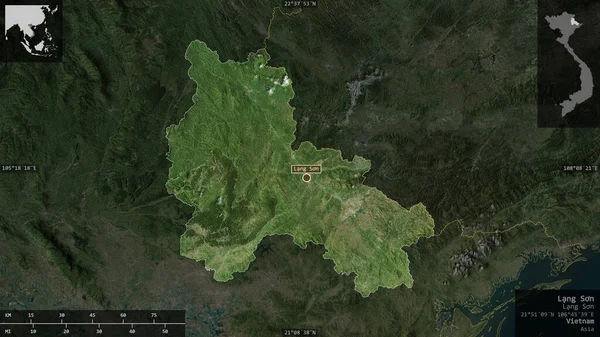
stock image Lang Son, province of Vietnam. Satellite imagery. Shape presented against its country area with informative overlays. 3D rendering

Lang Son, Province Of Vietnam. Satellite Imagery. Shape Presented Against Its Country Area With Informative Overlays. 3D Rendering

2880 × 1620
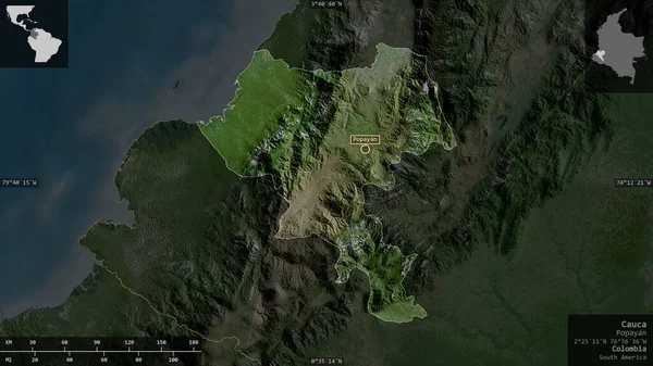
stock image Cauca, department of Colombia. Satellite imagery. Shape presented against its country area with informative overlays. 3D rendering

Cauca, Department Of Colombia. Satellite Imagery. Shape Presented Against Its Country Area With Informative Overlays. 3D Rendering

2880 × 1620
stock image Rondonia , state of Brazil. Satellite imagery. Shape presented against its country area with informative overlays. 3D rendering

Rondonia , State Of Brazil. Satellite Imagery. Shape Presented Against Its Country Area With Informative Overlays. 3D Rendering

2880 × 1620
stock image Jilin, province of China. Satellite imagery. Shape presented against its country area with informative overlays. 3D rendering

Jilin, Province Of China. Satellite Imagery. Shape Presented Against Its Country Area With Informative Overlays. 3D Rendering

2880 × 1620
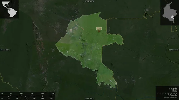
stock image Vaupes , commissiary of Colombia. Satellite imagery. Shape presented against its country area with informative overlays. 3D rendering

Vaupes , Commissiary Of Colombia. Satellite Imagery. Shape Presented Against Its Country Area With Informative Overlays. 3D Rendering

2880 × 1620
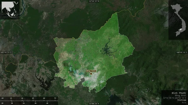
stock image Binh Phuoc, province of Vietnam. Satellite imagery. Shape presented against its country area with informative overlays. 3D rendering

Binh Phuoc, Province Of Vietnam. Satellite Imagery. Shape Presented Against Its Country Area With Informative Overlays. 3D Rendering

2880 × 1620
stock image Dak Lak, province of Vietnam. Satellite imagery. Shape presented against its country area with informative overlays. 3D rendering

Dak Lak, Province Of Vietnam. Satellite Imagery. Shape Presented Against Its Country Area With Informative Overlays. 3D Rendering

2880 × 1620