Home
Images
Vectors
Videos
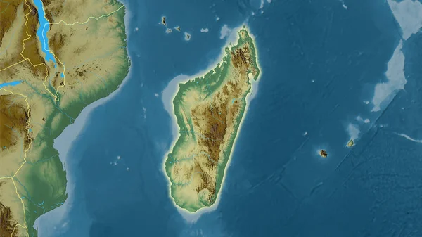
Stock image Madagascar zoomed and circled. Main physical landscape features. 3D rendering
Published:
Aug.06, 2020 14:54:19
Author:
Yarr65
Views:
0
Downloads:
0
File type:
image
/
jpg
File size:
3.57 MB
Orginal size:
2880
x
1620
px
Available sizes:
S
(500 x 281)
M
(1000 x 563)
L
(2000 x 1125)
XL
(2880 x 1620)
EL0
(2880 x 1620)
Level:
bronze
Download Image
Image topics:
View
Shape
Travel
Nature
Sea
Border
Landscape
Physical
Glow
Earth
Planet
World
Ocean
Science
Capital
Globe
Profile
Outline
Country
Map
Cartography
Geography
Africa
Continent
Land
Zoom
Region
Territory
Atlas
Overlay
Madagascar
Circled
Antananarivo
3d Rendering
Subregion
Administrative Division
Mdg
Similar stock images
Enlarged Area Of Madagascar Surrounded By A Circle On The Background Of Its Neighborhood. Color Physical Map
2880 × 1620
Mozambique Zoomed And Circled. Main Physical Landscape Features. 3D Rendering
2880 × 1620
Madagascar Area On The Satellite B Map In The Stereographic Projection - Main Composition
2880 × 1620
Somalia Zoomed And Circled. Main Physical Landscape Features. 3D Rendering
2880 × 1620
Madagascar Area On The Satellite C Map In The Stereographic Projection - Main Composition
2880 × 1620
Close-up Of The Madagascar Border Area And Its Regional Borders On A Satellite Map. Capital Point. Outline Around The Country Shape.
3840 × 2160
Somalia And Its Neighborhood. Distant Oblique Perspective - Shape Glowed. Color Physical Map
2880 × 1620
Madagascar Area On The Topographic Relief Map In The Stereographic Projection - Raw Composition Of Raster Layers With Light Glowing Outline
2880 × 1620