Home
Images
Vectors
Videos
Stock image Malawi zoomed and neighborhood. Main physical landscape features. 3D rendering
Published:
Aug.26, 2020 13:56:42
Author:
Yarr65
Views:
10
Downloads:
2
File type:
image
/
jpg
File size:
4.58 MB
Orginal size:
2880
x
1620
px
Available sizes:
S
(500 x 281)
M
(1000 x 563)
L
(2000 x 1125)
XL
(2880 x 1620)
EL0
(2880 x 1620)
Level:
bronze
Download Image
Image topics:
View
Shape
Travel
Nature
Sea
Border
Landscape
Physical
Glow
Earth
Planet
World
Ocean
Science
Capital
Globe
Profile
Outline
Country
Map
Cartography
Geography
Africa
Continent
Land
Zoom
Region
Territory
Malawi
Atlas
Neighborhood
Overlay
Lilongwe
3d Rendering
Subregion
Administrative Division
Mwi
Similar stock images
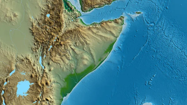
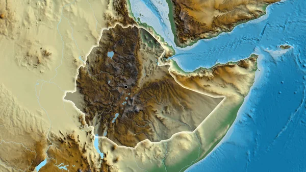
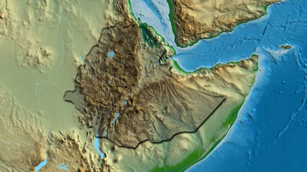
Close-up Of The Ethiopia Border Area On A Relief Map. Capital Point. Glow Around The Country Shape.
3840 × 2160
Close-up Of Aphysical Map Centered On Somalia
3840 × 2160
Close-up Of The Ethiopia Border Area Highlighting With A Dark Overlay On A Relief Map. Capital Point. Glow Around The Country Shape.
3840 × 2160
Close-up Of The Malawi Border Area On A Physical Map. Capital Point. Glow Around The Country Shape.
3840 × 2160
Close-up Of Aphysical Map Centered On Malawi
3840 × 2160
Close-up Of Aphysical Map Centered On Ethiopia
3840 × 2160
Close-up Of The Somalia Border Area Highlighting With A Dark Overlay On A Physical Map. Capital Point. Outline Around The Country Shape.
3840 × 2160
Close-up Of The Ethiopia Border Area Highlighting With A Dark Overlay On A Physical Map. Capital Point. Bevelled Edges Of The Country Shape.
3840 × 2160