Home
Images
Vectors
Videos
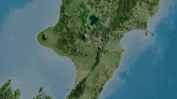
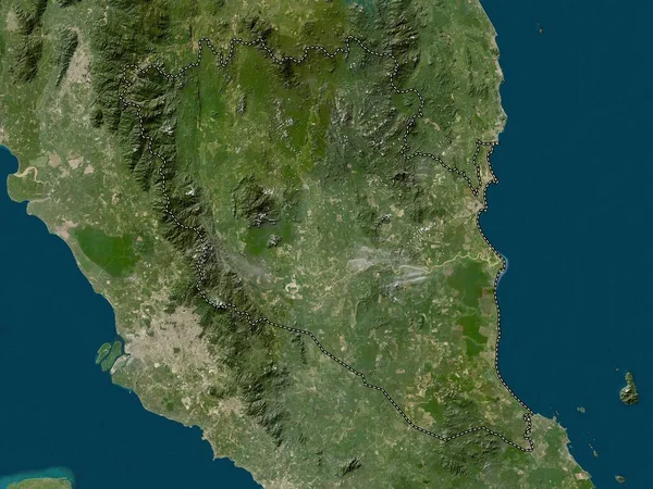
Stock image Manawatu-Wanganui, regional council of New Zealand. Satellite imagery. Shape outlined against its country area. 3D rendering
Published:
Aug.21, 2020 09:40:18
Author:
Yarr65
Views:
4
Downloads:
0
File type:
image
/
jpg
File size:
4.1 MB
Orginal size:
2880
x
1620
px
Available sizes:
S
(500 x 281)
M
(1000 x 563)
L
(2000 x 1125)
XL
(2880 x 1620)
EL0
(2880 x 1620)
Level:
bronze
Download Image
Image topics:
View
Shape
Travel
Nature
Border
Landscape
Glow
Contour
Scale
Earth
Planet
World
Ocean
Science
Capital
Profile
Outline
Country
Map
Cartography
Geography
Continent
Land
Zoom
Satellite
Region
Oceania
Territory
Outlined
Atlas
Legend
Overlay
Wellington
3d Rendering
New Zealand
Manawatu Wanganui
Nzl
Subregion
Palmerston North
Regional Council
Administrative Division
Wanganui Mawanatu
Similar stock images
Quang Nam, Province Of Vietnam. Satellite Imagery. Shape Outlined Against Its Country Area. 3D Rendering
2880 × 1620
Pahang, State Of Malaysia. Low Resolution Satellite Map
3840 × 2880
Quang Nam, Province Of Vietnam. High Resolution Satellite Map
3840 × 2880
Umbria, Region Of Italy. Satellite Imagery. Shape Outlined Against Its Country Area. 3D Rendering
2880 × 1620
Sucre, Department Of Colombia. Satellite Imagery. Shape Outlined Against Its Country Area. 3D Rendering
2880 × 1620
Hokkaido, Circuit Of Japan. Satellite Imagery. Shape Outlined Against Its Country Area. 3D Rendering
2880 × 1620
El Salvador Outlined - High Resolution Satellite Image
2880 × 1620
Lampung, Province Of Indonesia. High Resolution Satellite Map
3840 × 2880