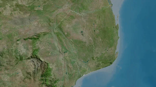
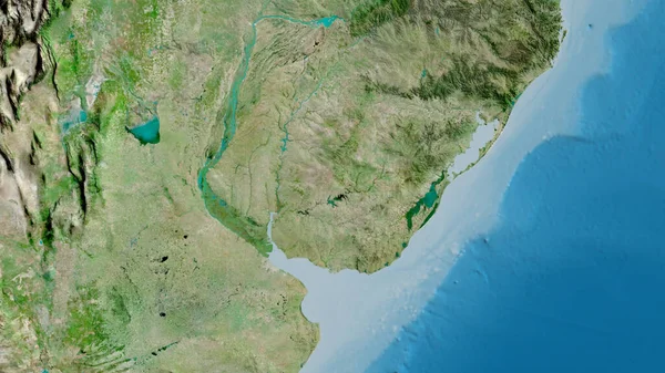
Stock image Manica, province of Mozambique. Satellite imagery. Shape outlined against its country area. 3D rendering

Published: Sep.16, 2020 06:57:11
Author: Yarr65
Views: 0
Downloads: 0
File type: image / jpg
File size: 5.37 MB
Orginal size: 2880 x 1620 px
Available sizes:
Level: bronze
Similar stock images
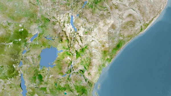
Manicaland, Province Of Zimbabwe. Satellite Imagery. Shape Outlined Against Its Country Area. 3D Rendering
2880 × 1620
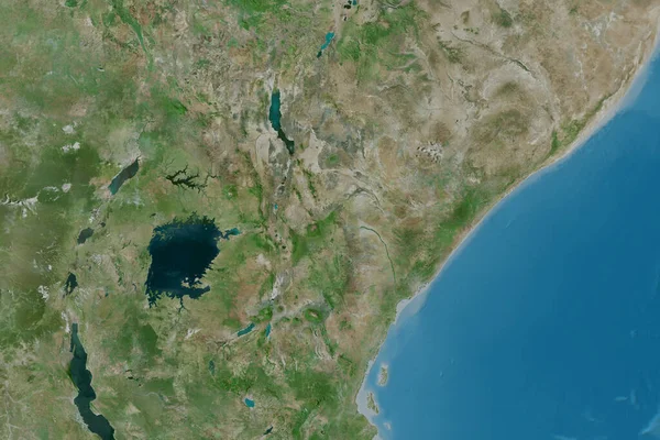
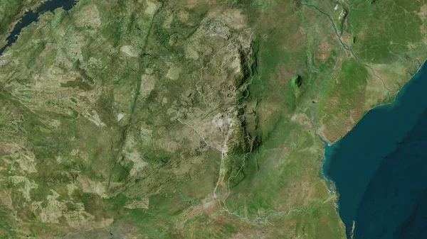
Maputo, Province Of Mozambique. Satellite Imagery. Shape Outlined Against Its Country Area. 3D Rendering
2880 × 1620

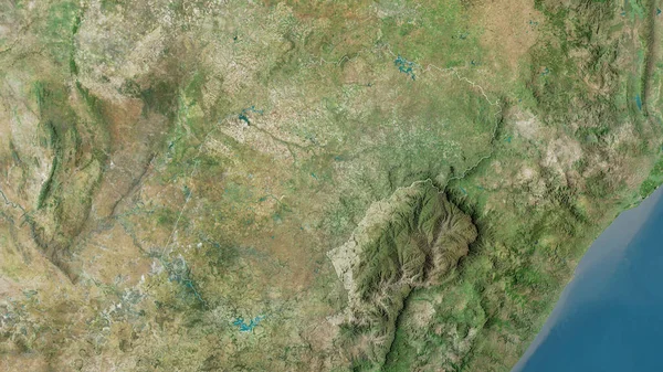
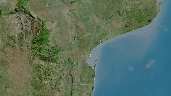
Inhambane, Province Of Mozambique. Satellite Imagery. Shape Outlined Against Its Country Area. 3D Rendering
2880 × 1620