Home
Images
Vectors
Videos
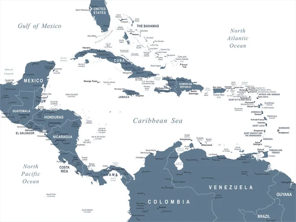
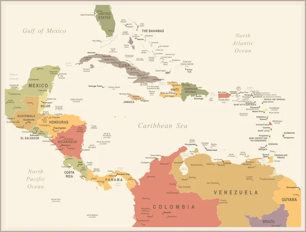
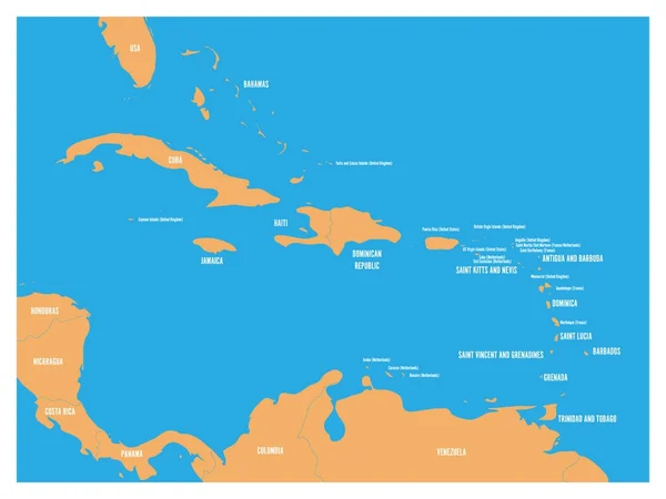
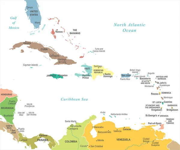
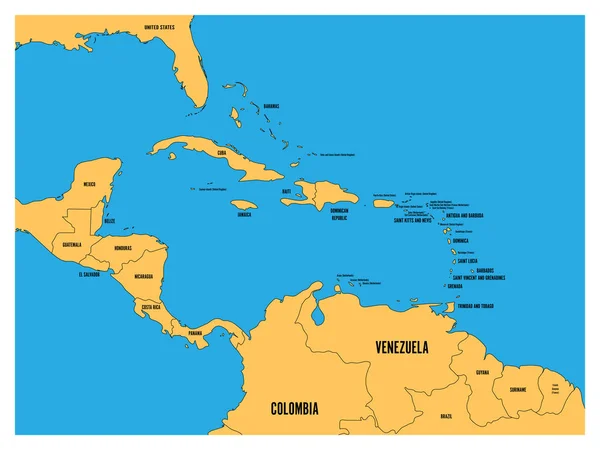
Stock image Map of Caribbean Islands
Published:
Apr.19, 2012 07:52:14
Author:
lina0486
Views:
2603
Downloads:
10
File type:
image
/
jpg
File size:
0.94 MB
Orginal size:
3200
x
2062
px
Available sizes:
S
(500 x 322)
M
(1000 x 644)
L
(2000 x 1289)
XL
(3200 x 2062)
EL0
(3200 x 2062)
Level:
bronze
Download Image
Image topics:
Blue
Background
On
Illustration
Travel
Fingers
Planet
Ocean
Tourism
Navigation
Country
Map
Geography
Land
State
Topography
America
Island
Political
Of
Republic
Islands
Caribbean
A
And
Ladies
Atlas
De
Blind
Communist
Florida
Del
Nation
Cuban
Las
Jamaica
Cuba
Havana
Mapping
Castro
Bahamas
Nationality
Belize
Guatemala
Haiti
Honduras
Avila
Cienfuegos
Caribe
Tunas
Similar stock images
Central America Map - Vector Illustration
7335 × 5500
Central America Map - Vintage Vector Illustration
7258 × 5500
Central America And Carribean States Political Map. Yellow Land With Black Country Names Labels On Blue Sea Background. Simple Flat Vector Illustration
6000 × 4500
Central America And Carribean States Political Map. Black Outline Borders With Black Country Names Labels On Blue Background. Simple Flat Vector Illustration
8000 × 6000
The Caribbean Map - Vector Illustration
6598 × 5500
The Caribbean Map - Vintage Vector Illustration
6597 × 5500
Central America And Carribean States Political Map. Yellow Land With Black Country Names Labels On Blue Sea Background. Simple Flat Vector Illustration
8000 × 6000
Dominica Blue Marked In The Map Of Caribbean. Vector Illustration
6000 × 4500