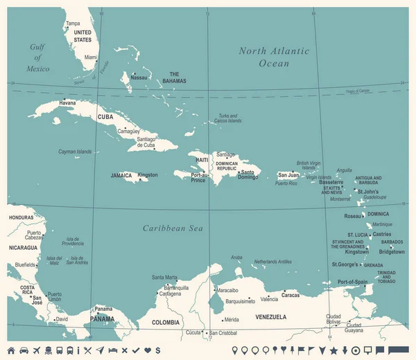
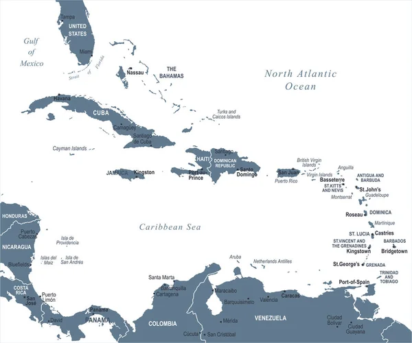
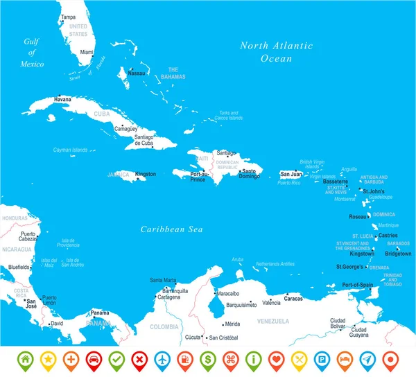
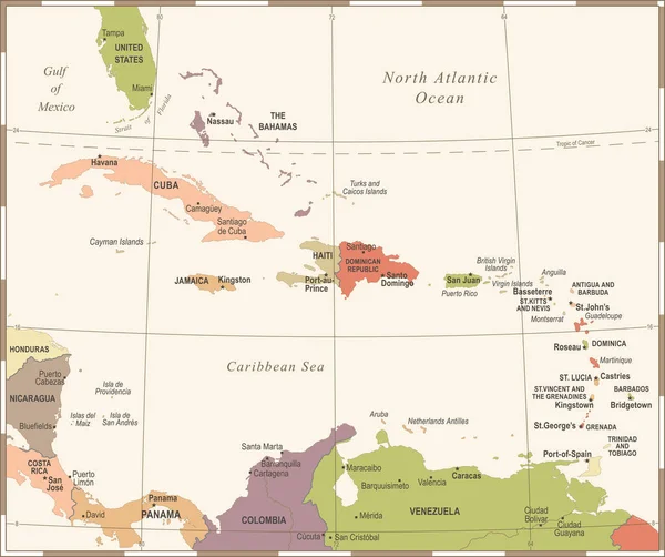
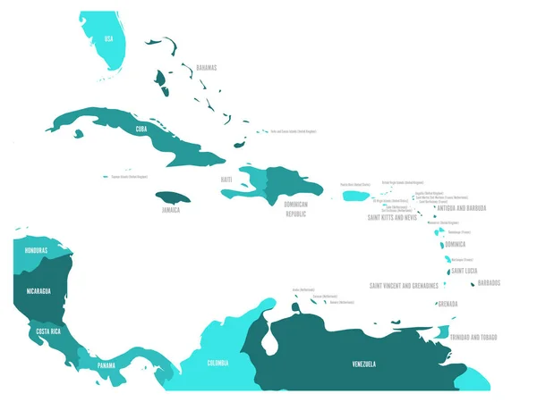
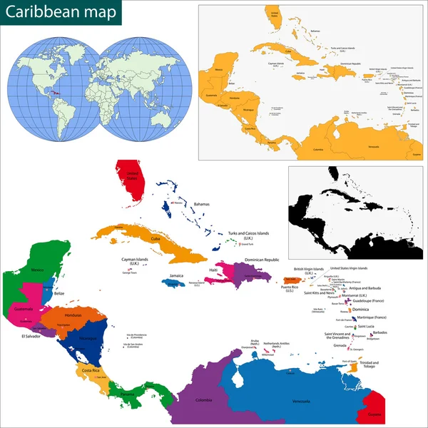
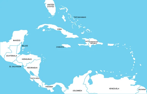
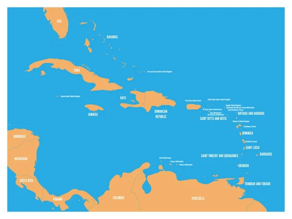
Stock vector Central America and Carribean states political map. Yellow land with black country names labels on blue sea background. Simple flat vector illustration
Published: Dec.26, 2017 11:33:09
Author: pyty
Views: 60
Downloads: 1
File type: vector / eps
File size: 1.2 MB
Orginal size: 6000 x 4500 px
Available sizes:
Level: silver